$1,500,000
349.13 ± Acresnew listing
Ashland, Oregon
2829 Buckhorn Springs Road
- ID: 2939
- Status: new listing
- Price: $1,500,000
- Acres: 349.13± acres
- Price Per Acre: $4,296
- Types: Lot, Recreational Land
- State: Oregon
- City: Ashland
- County: Jackson
- ZIP Code: 97520
- Lat/Long: 42.09110000, -122.52090000
- Presented By: Chris Martin
- Phone: (541) 660-5111
Description
349 Acres in Ashland | A recreational playground with commercial opportunity!
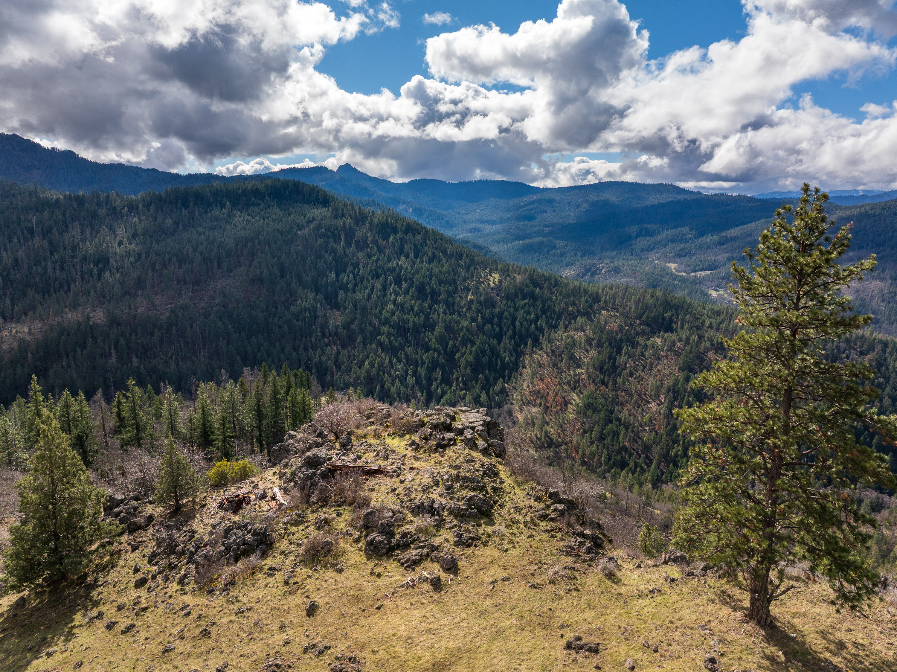
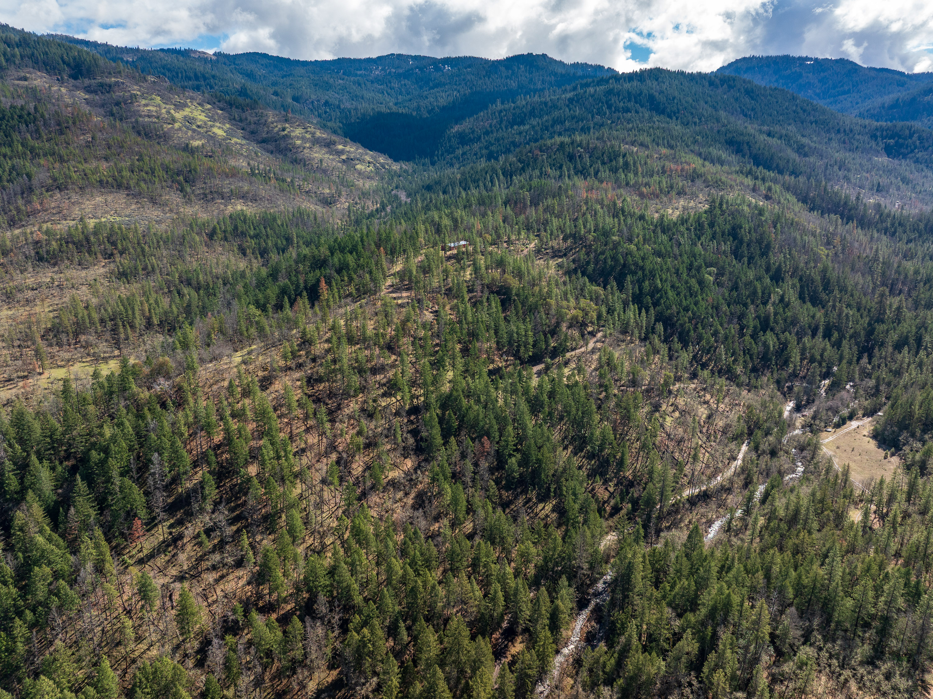
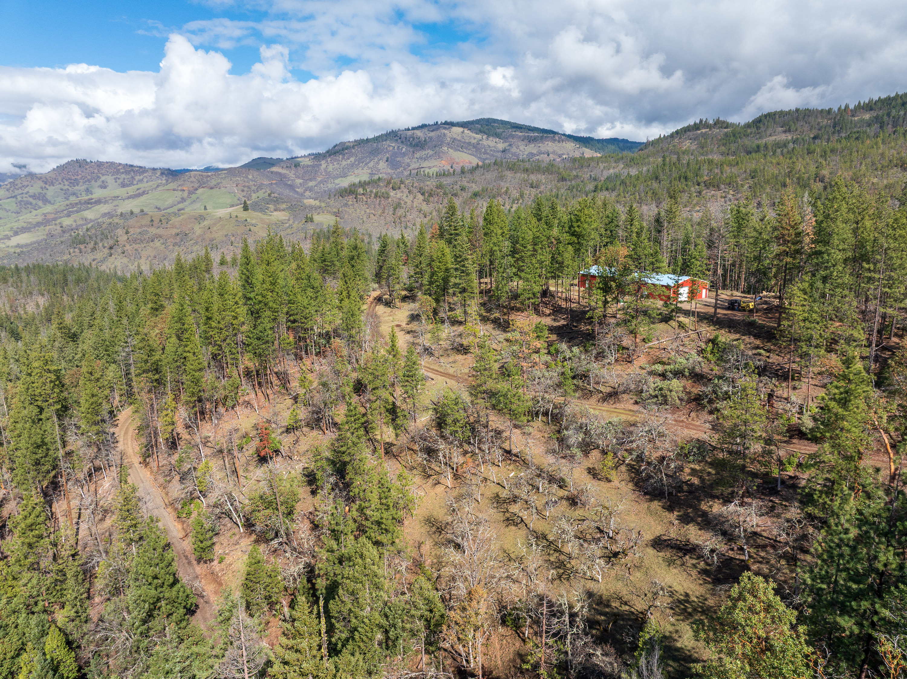
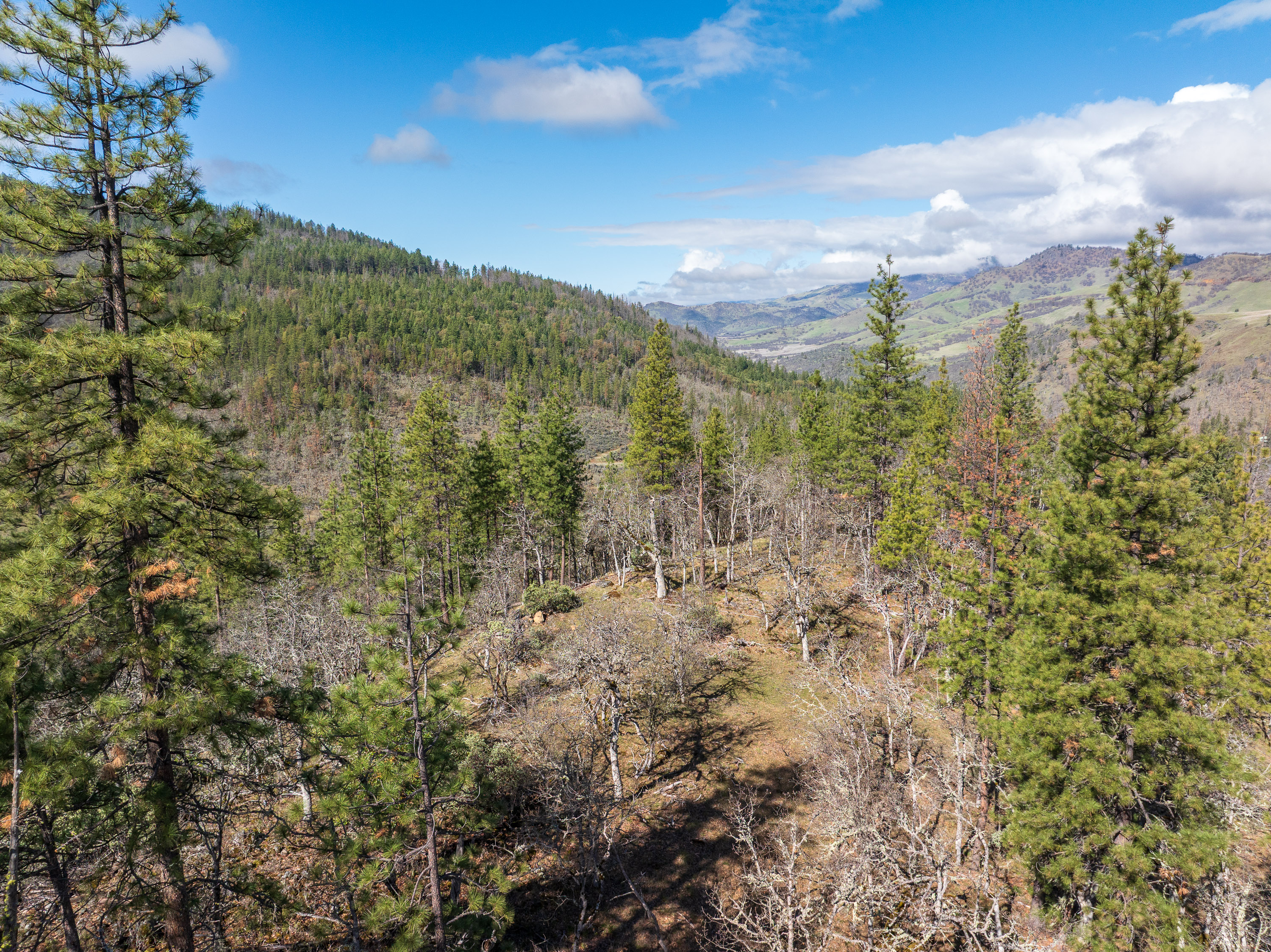
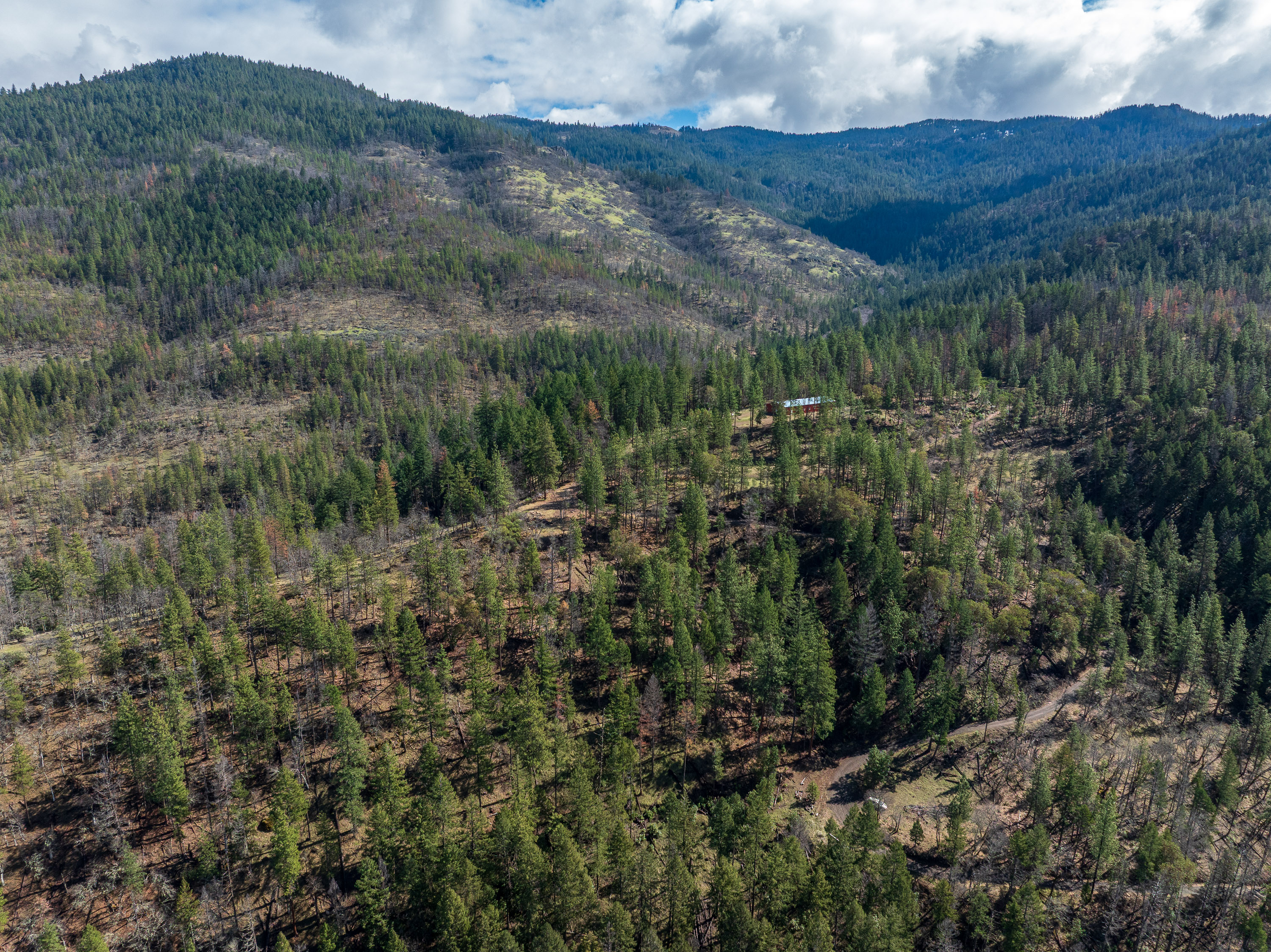
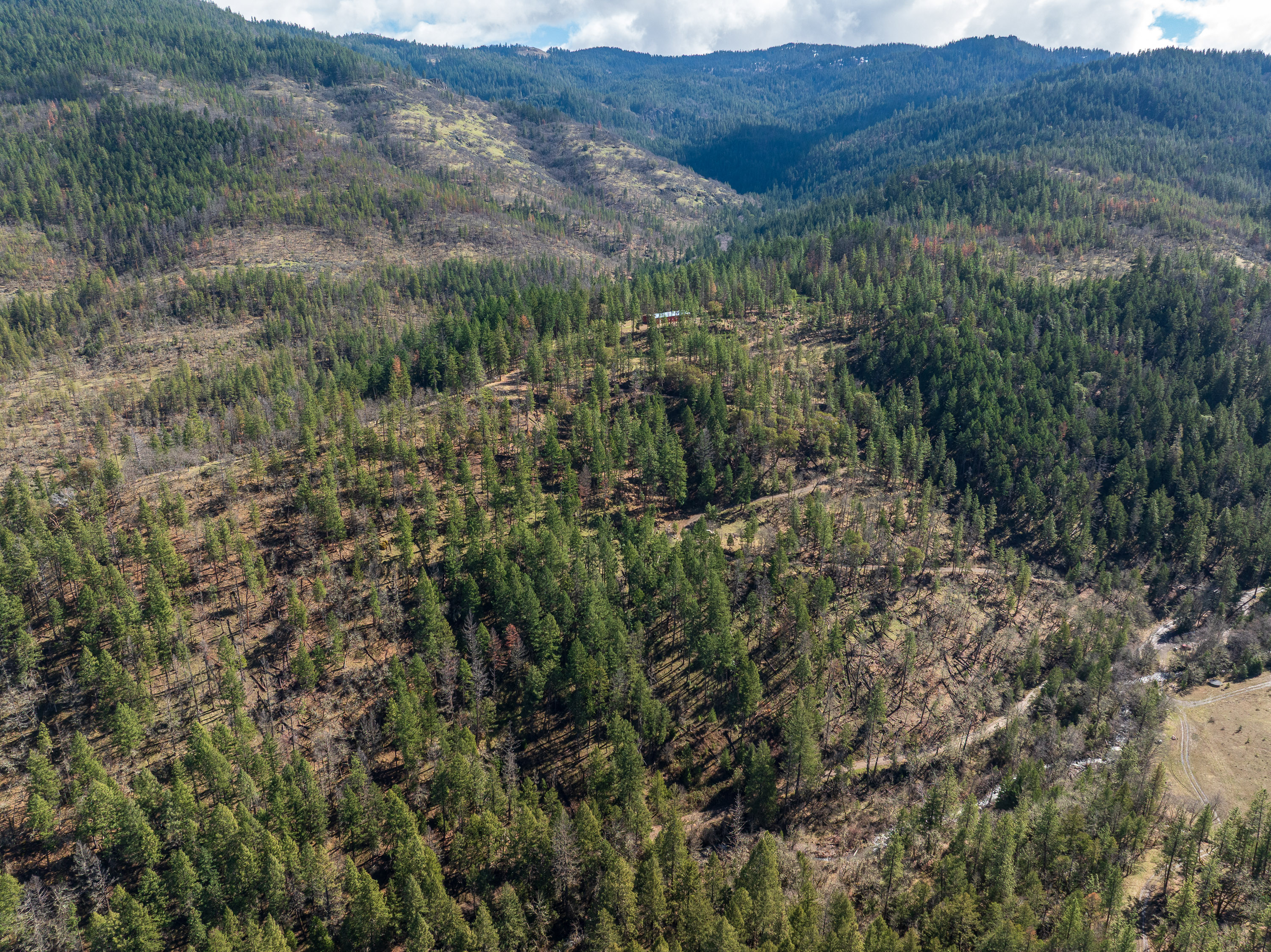
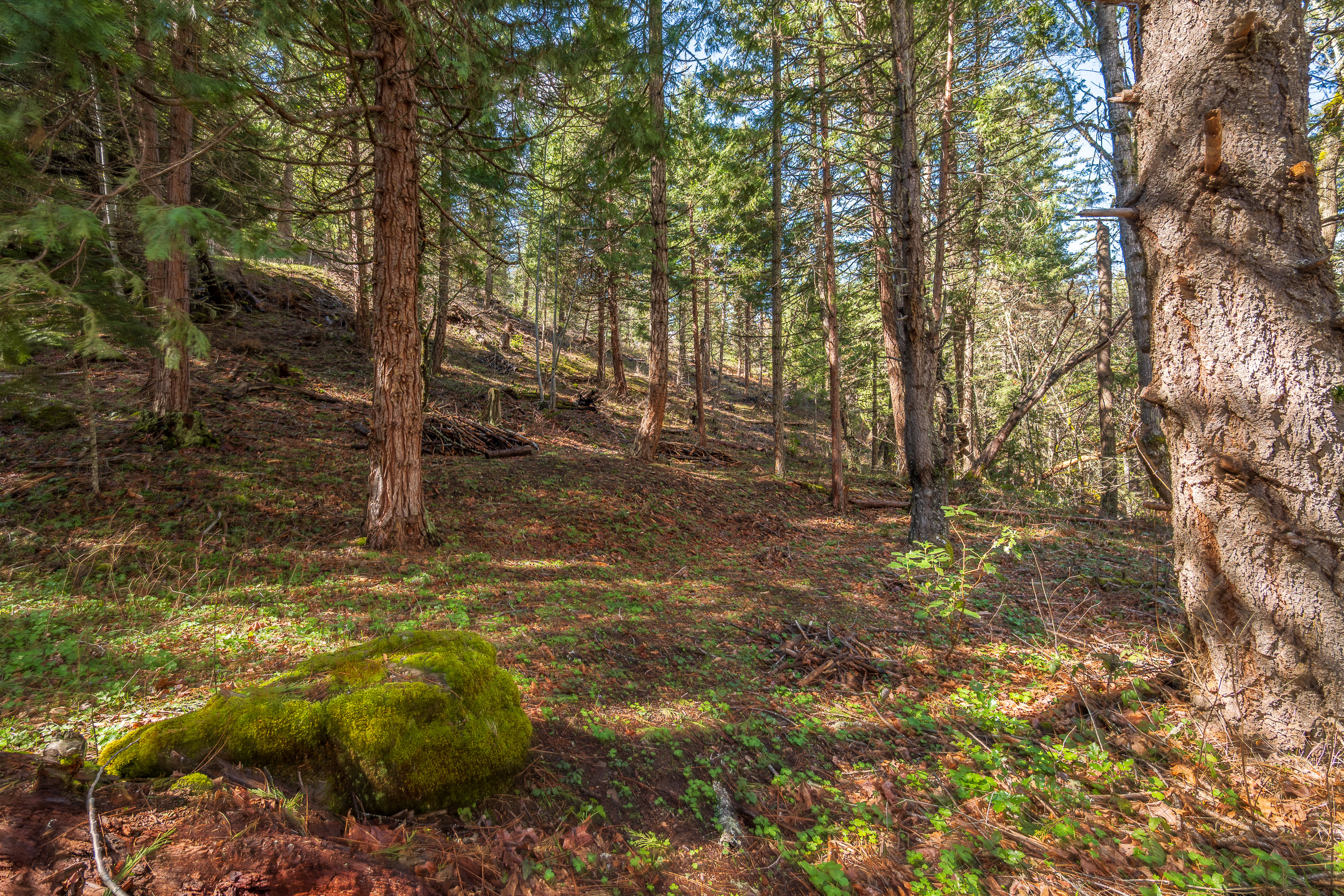
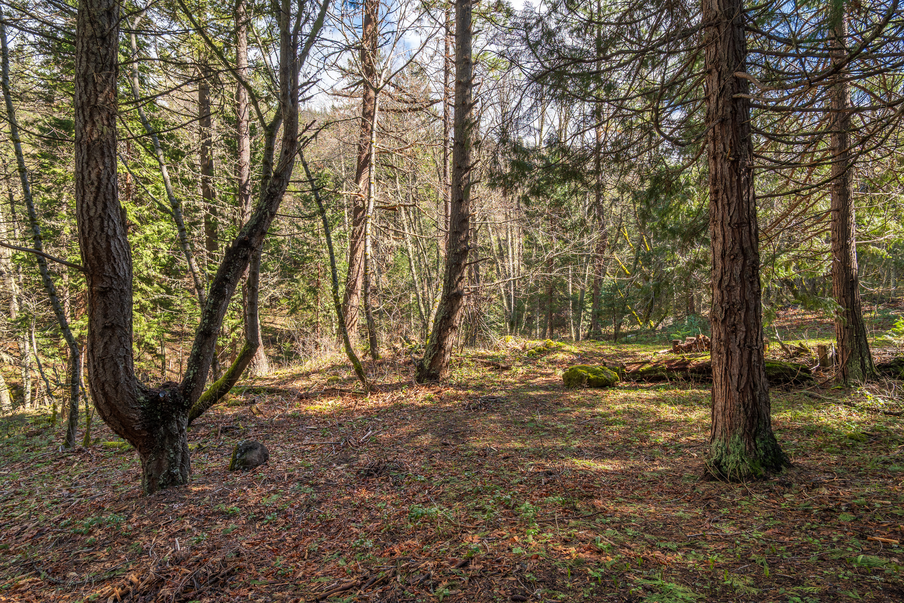
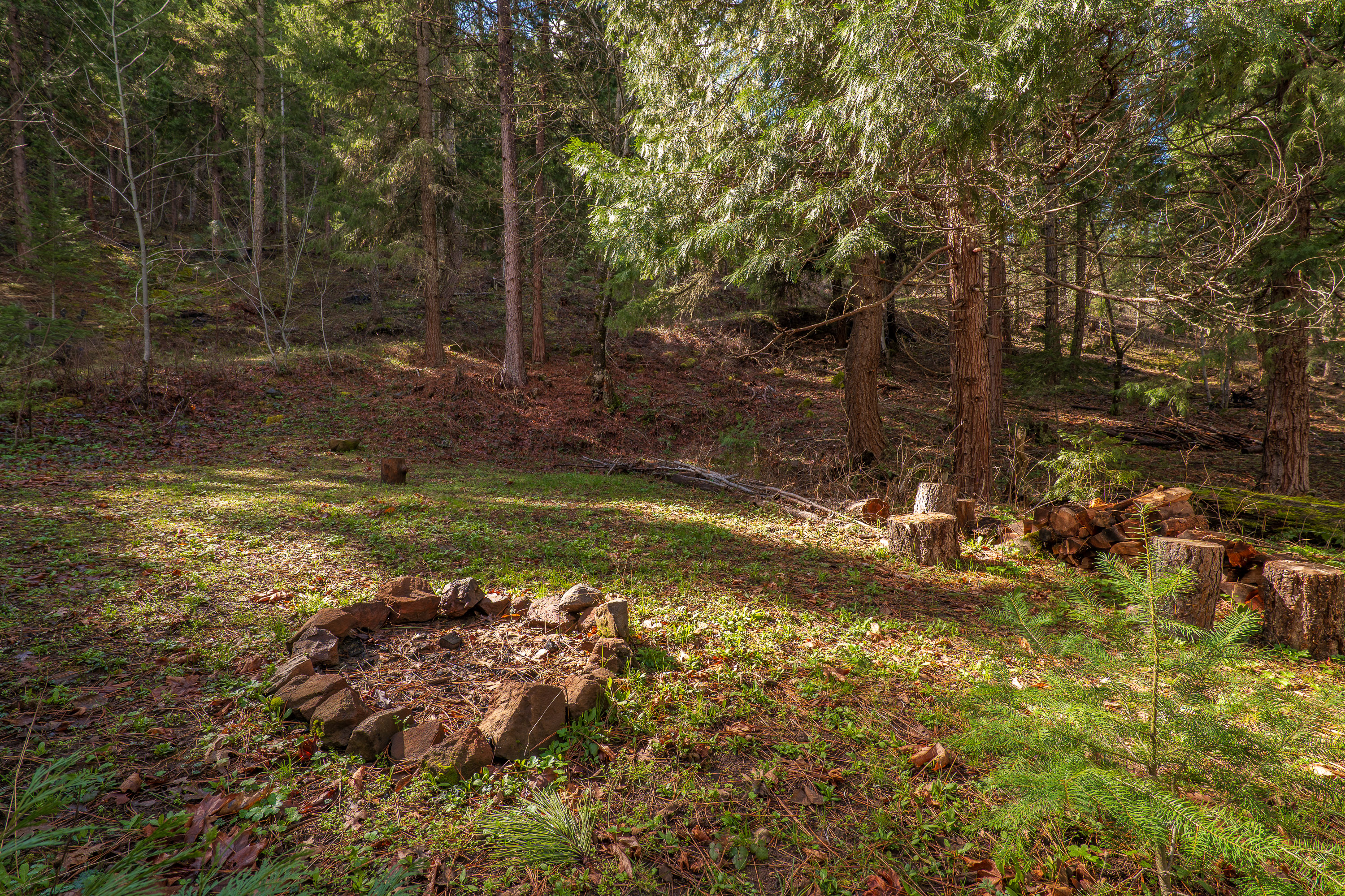
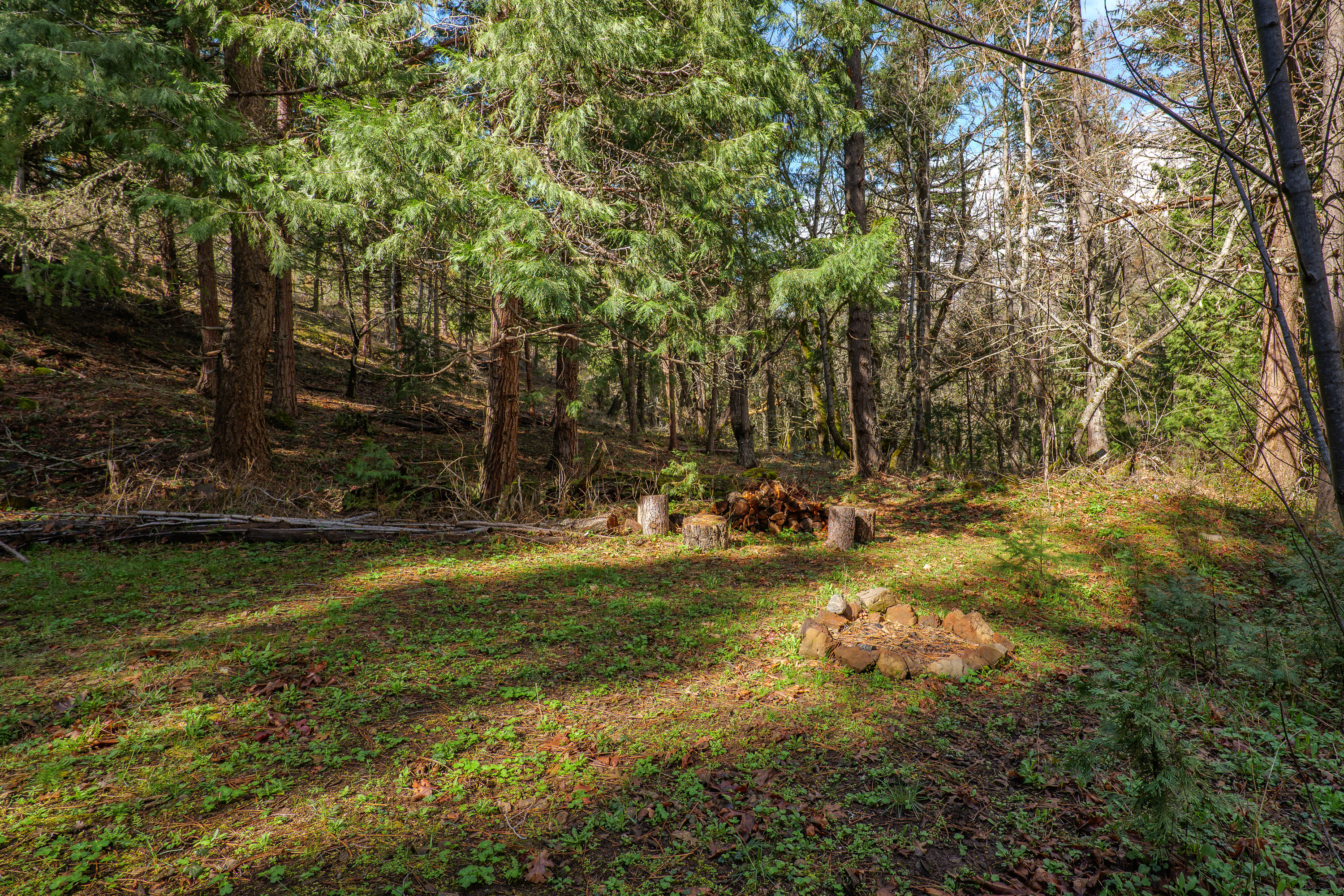
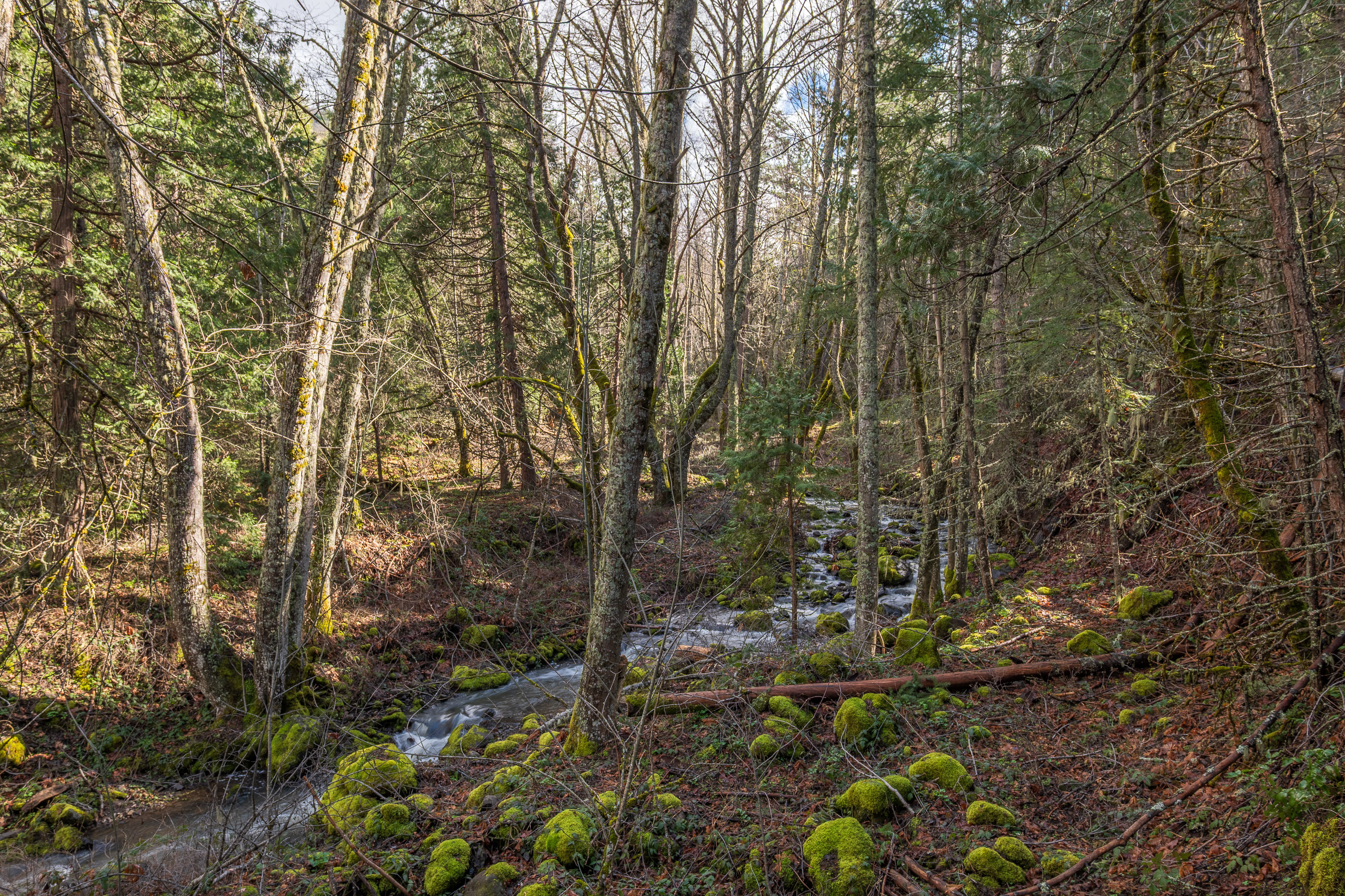
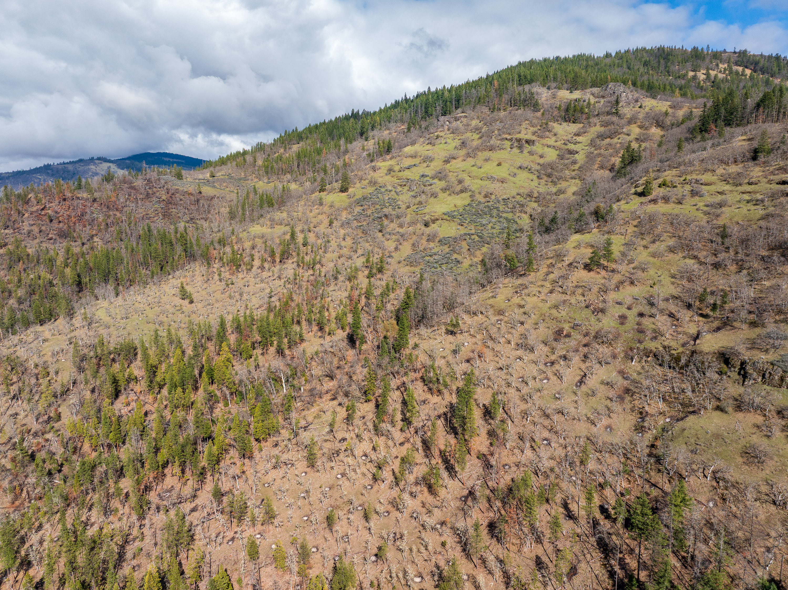
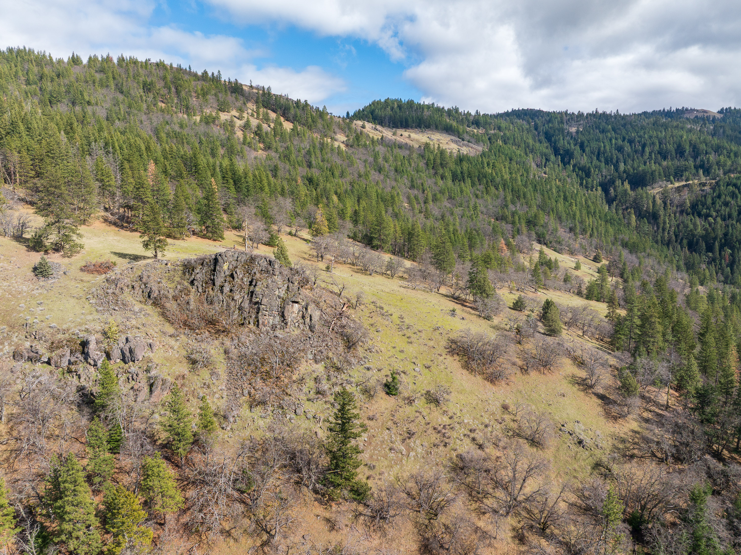
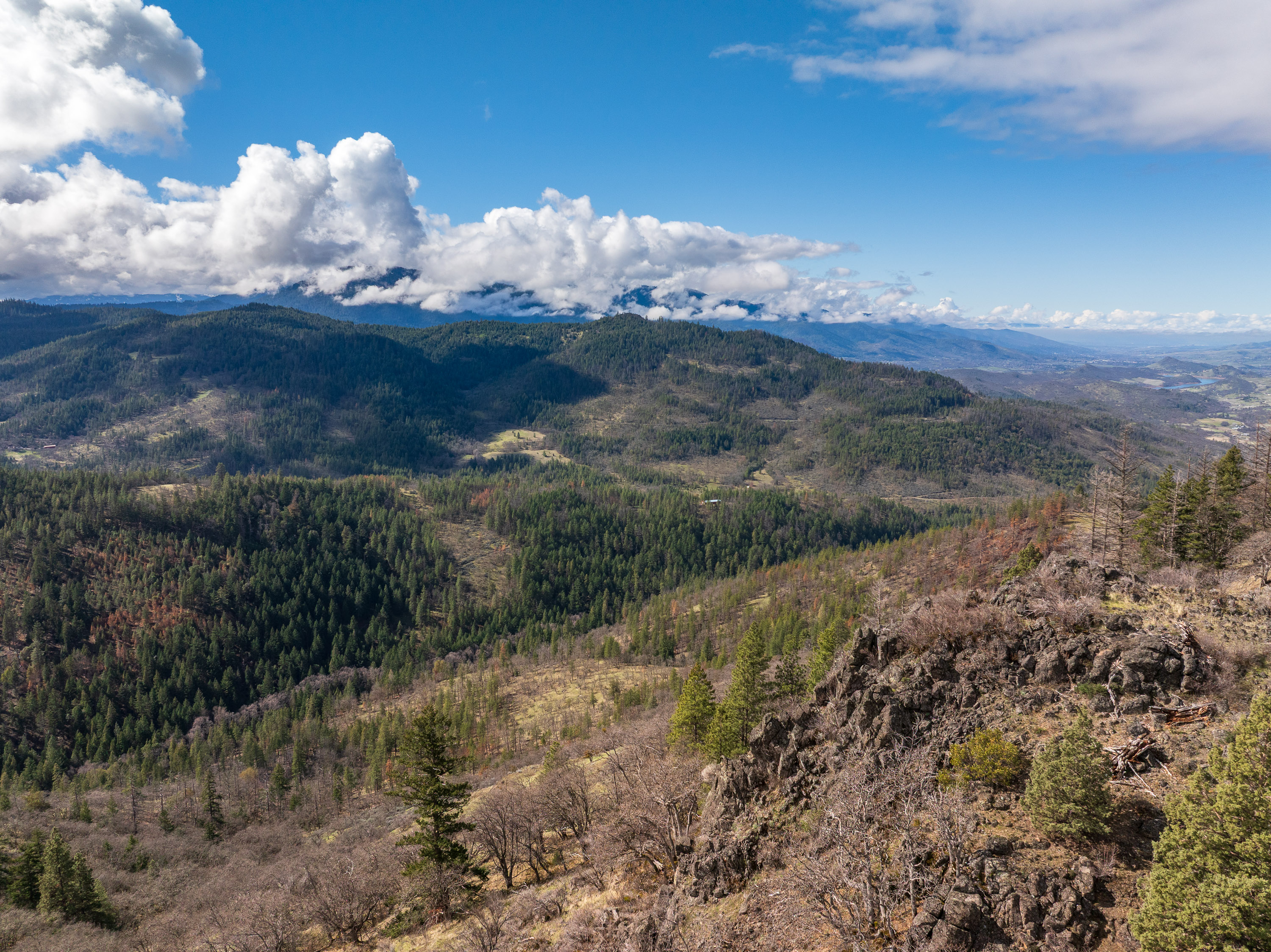
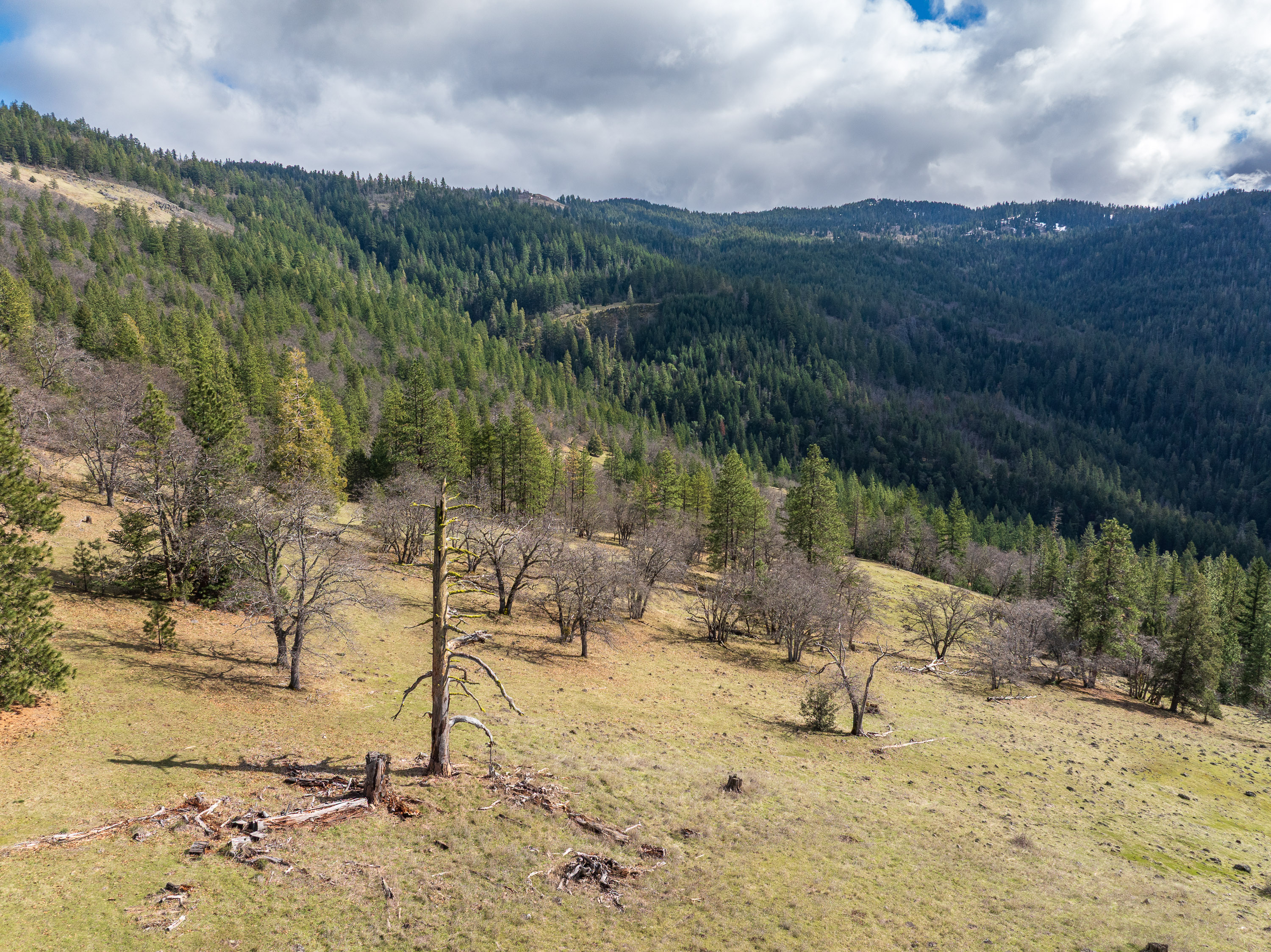
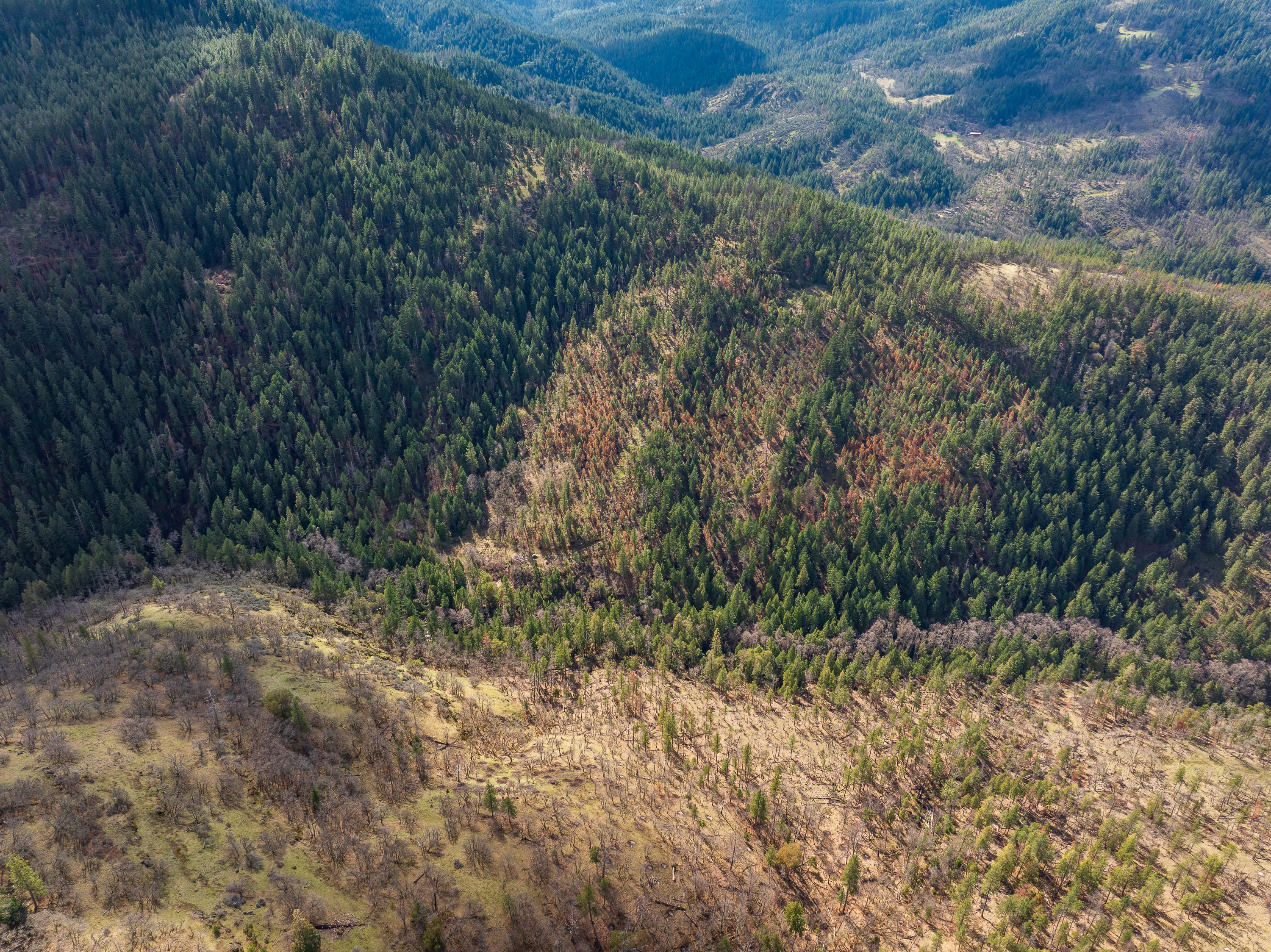
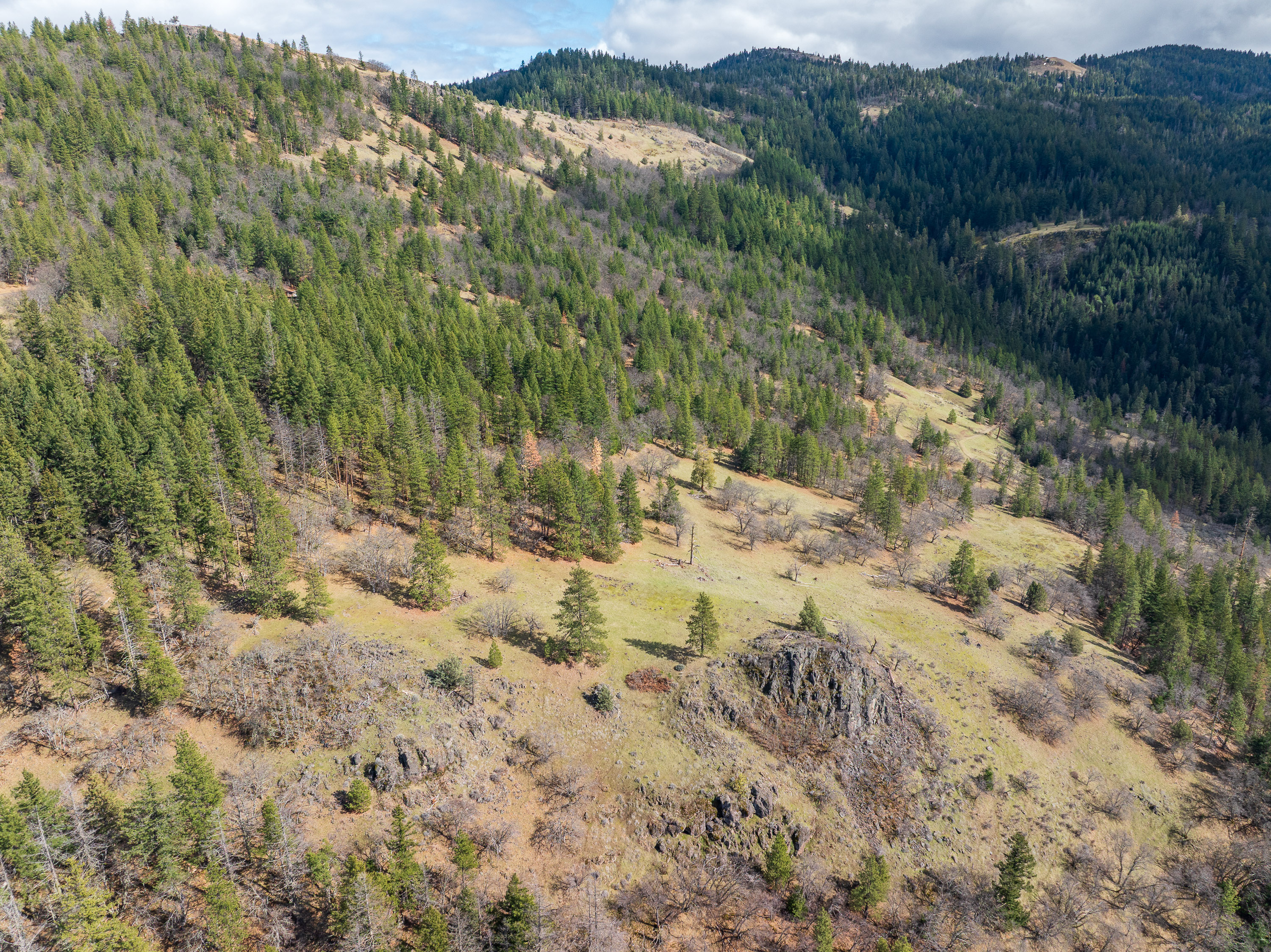
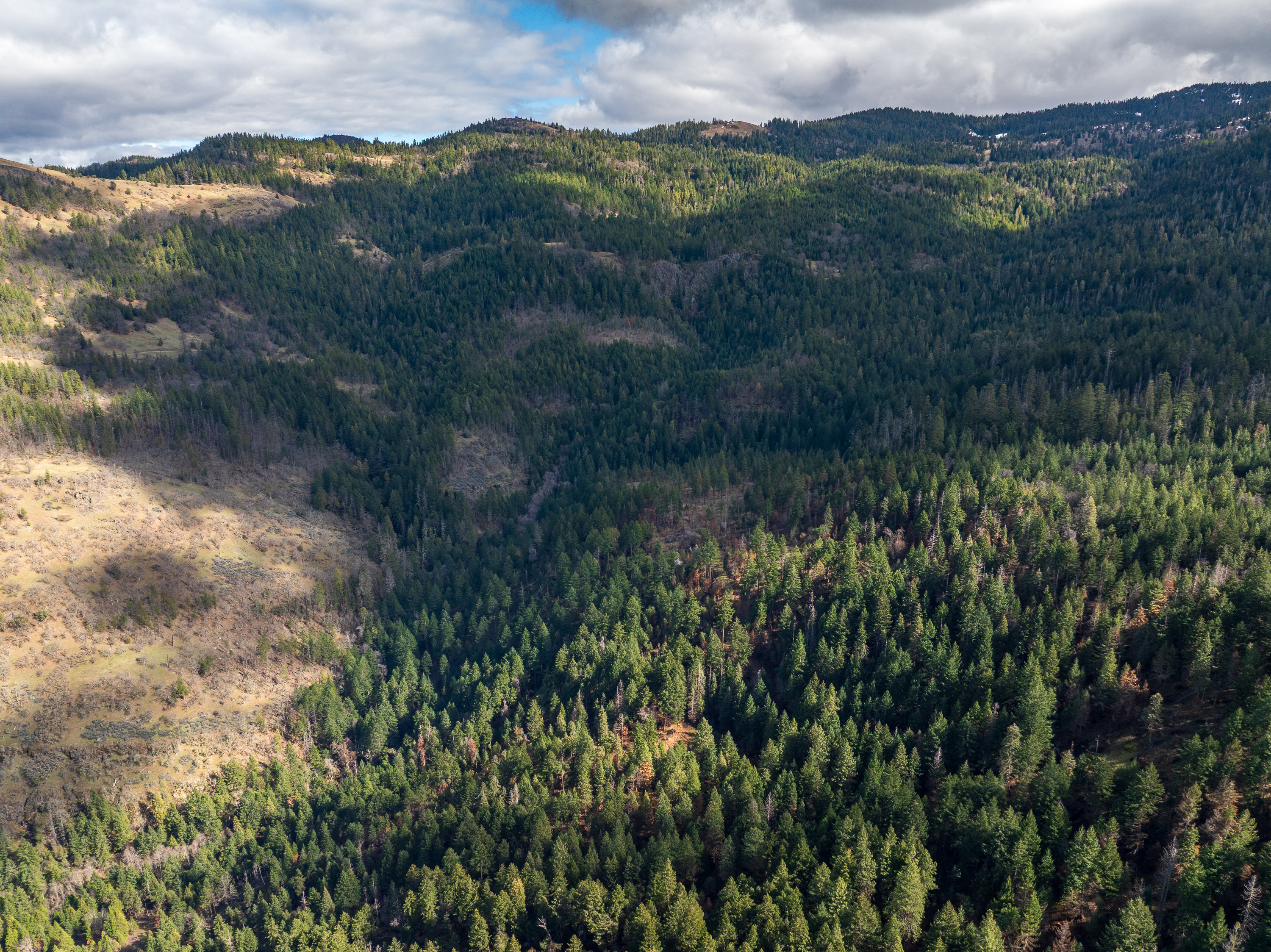
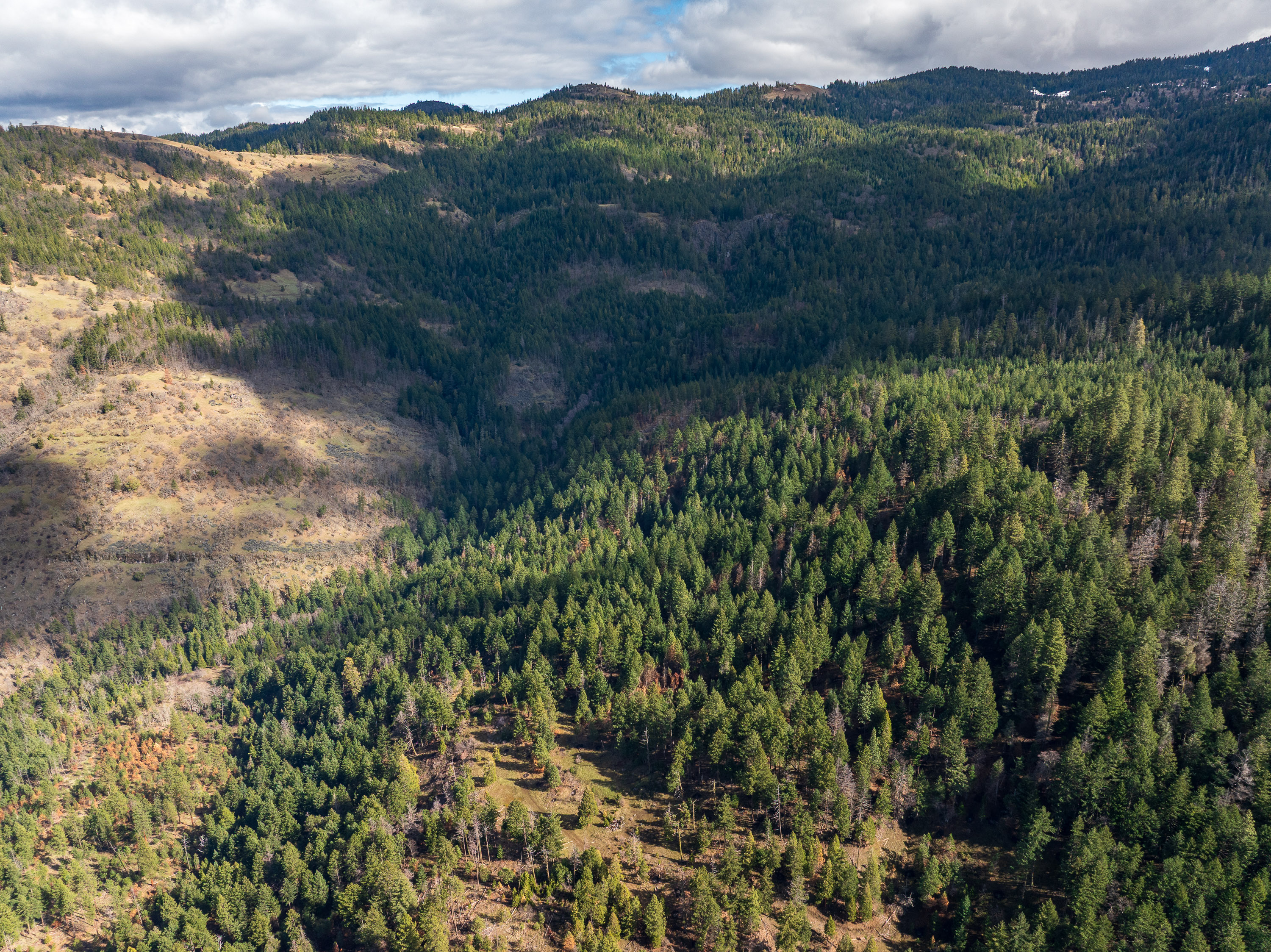
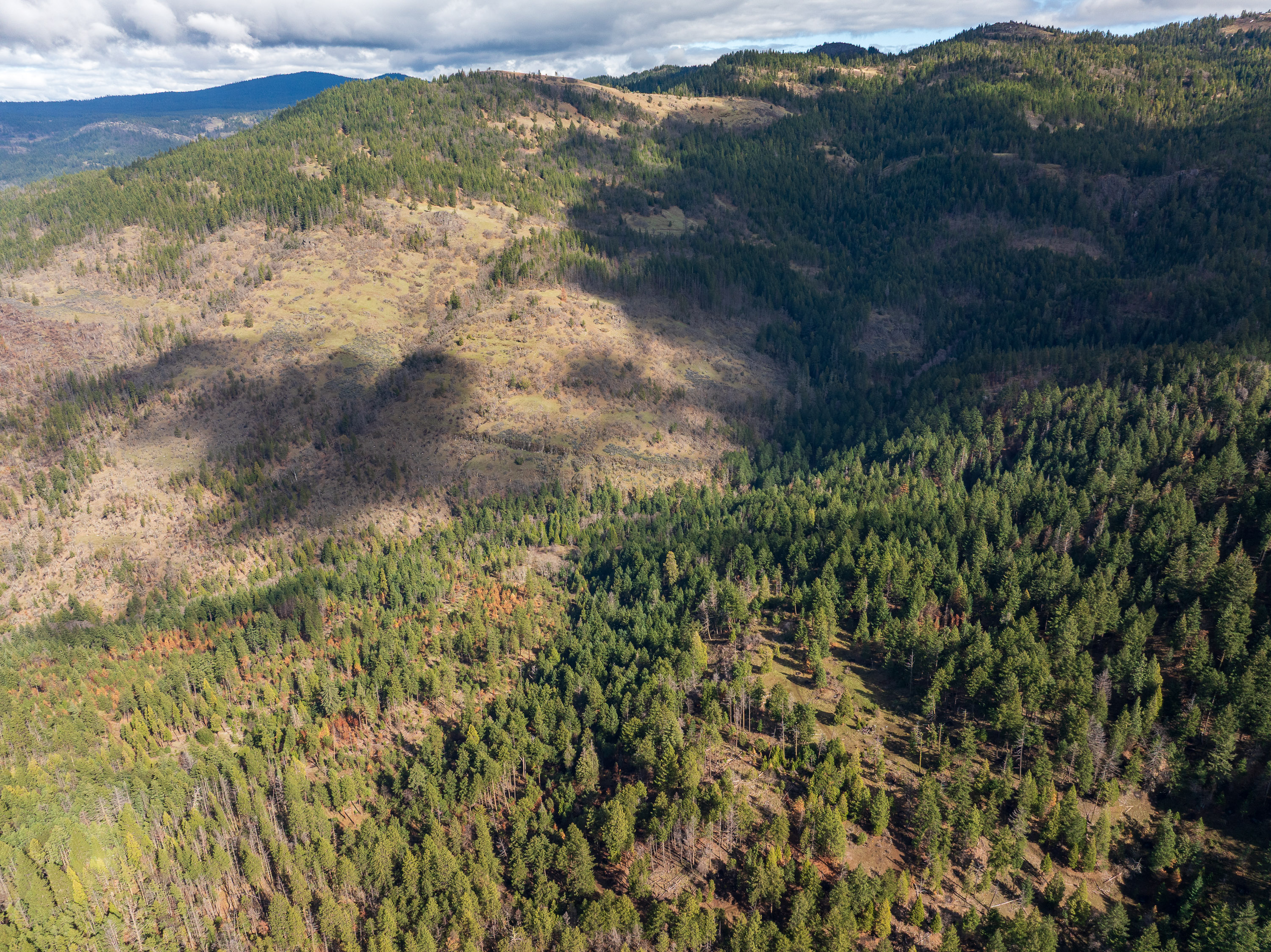
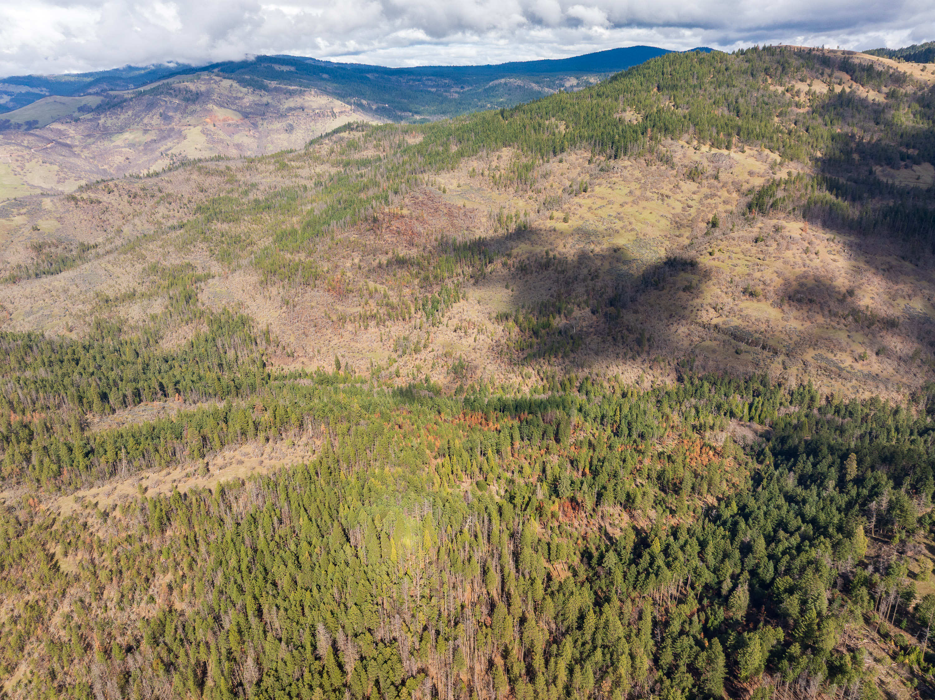
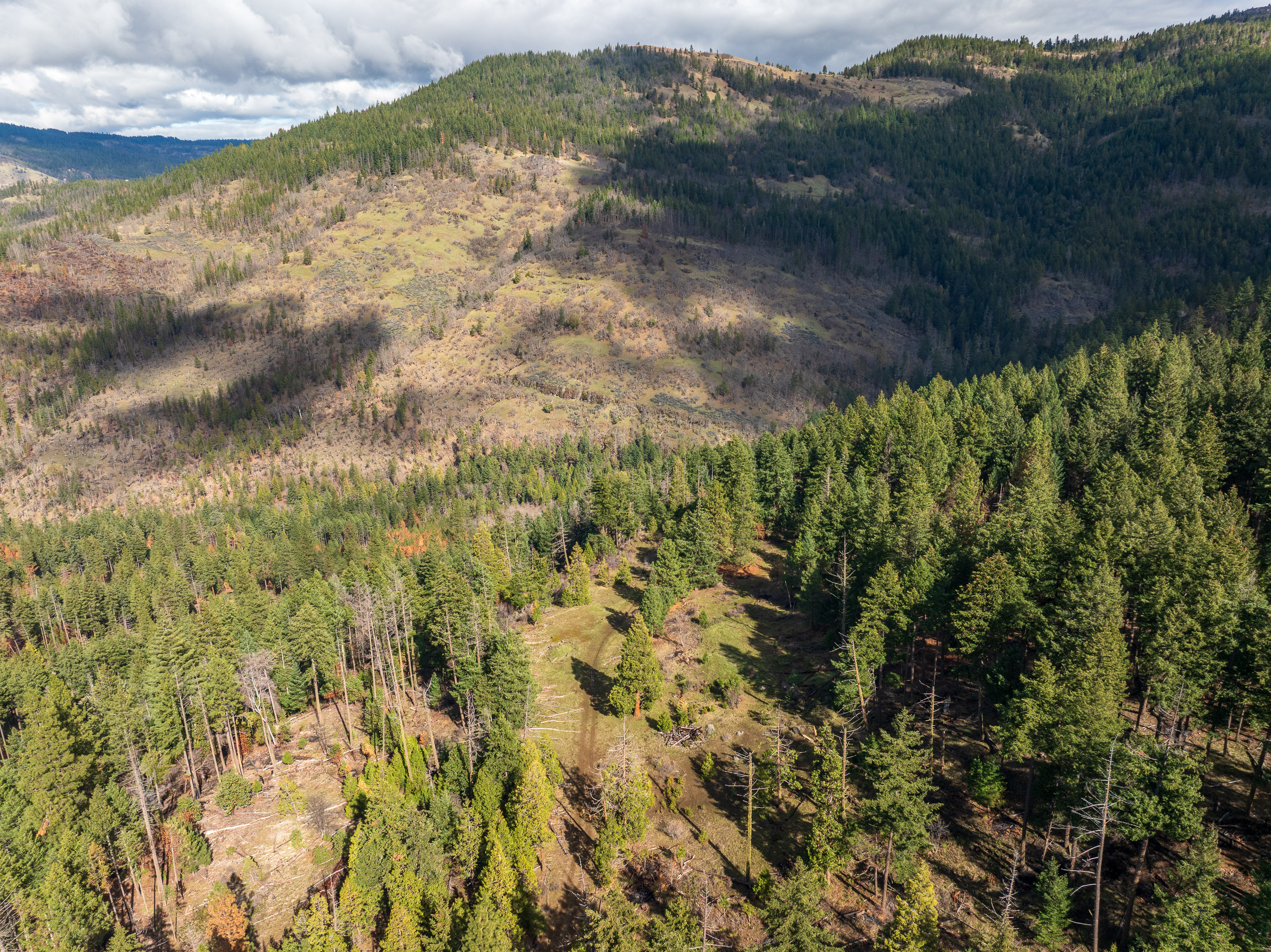
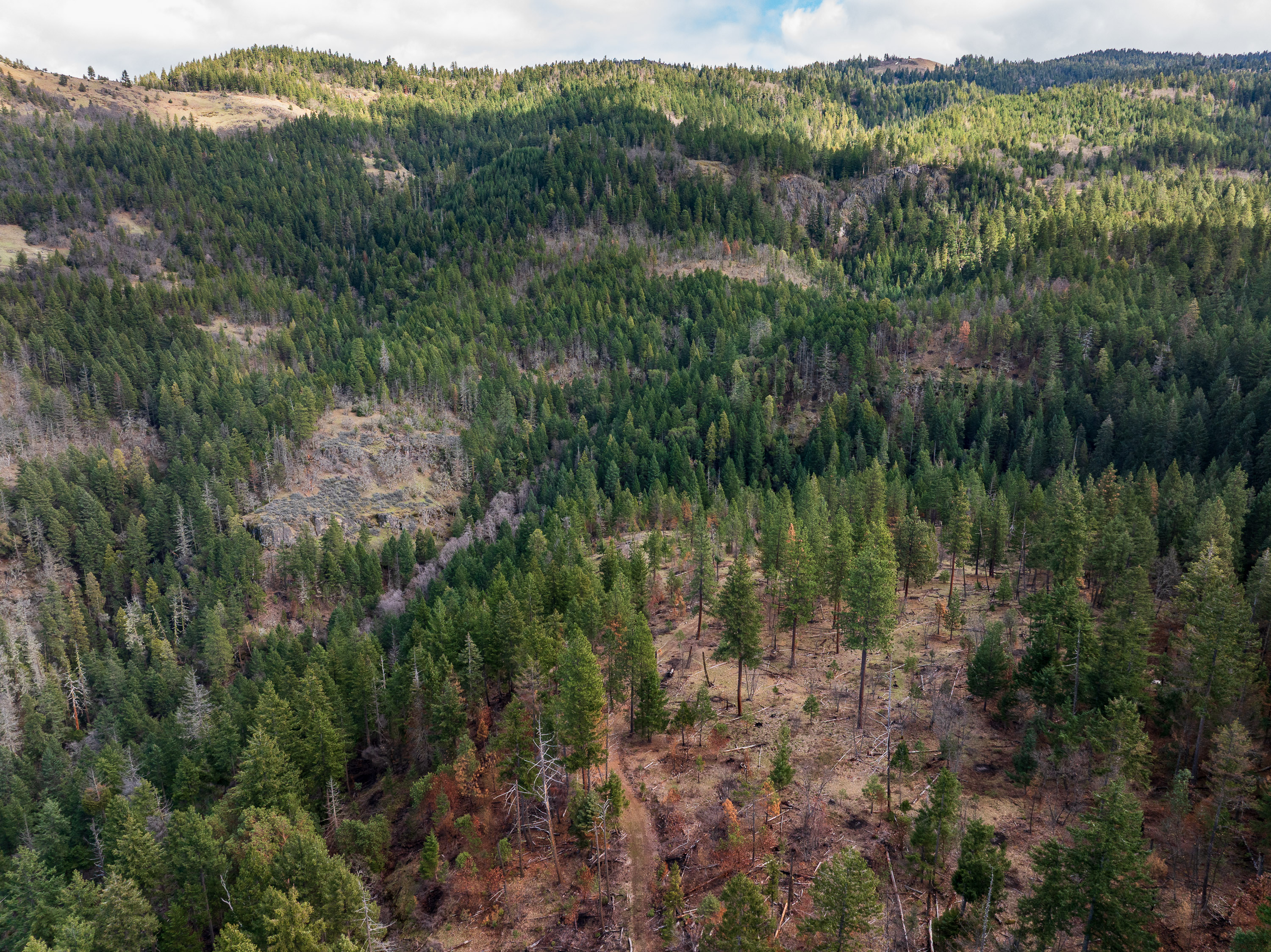
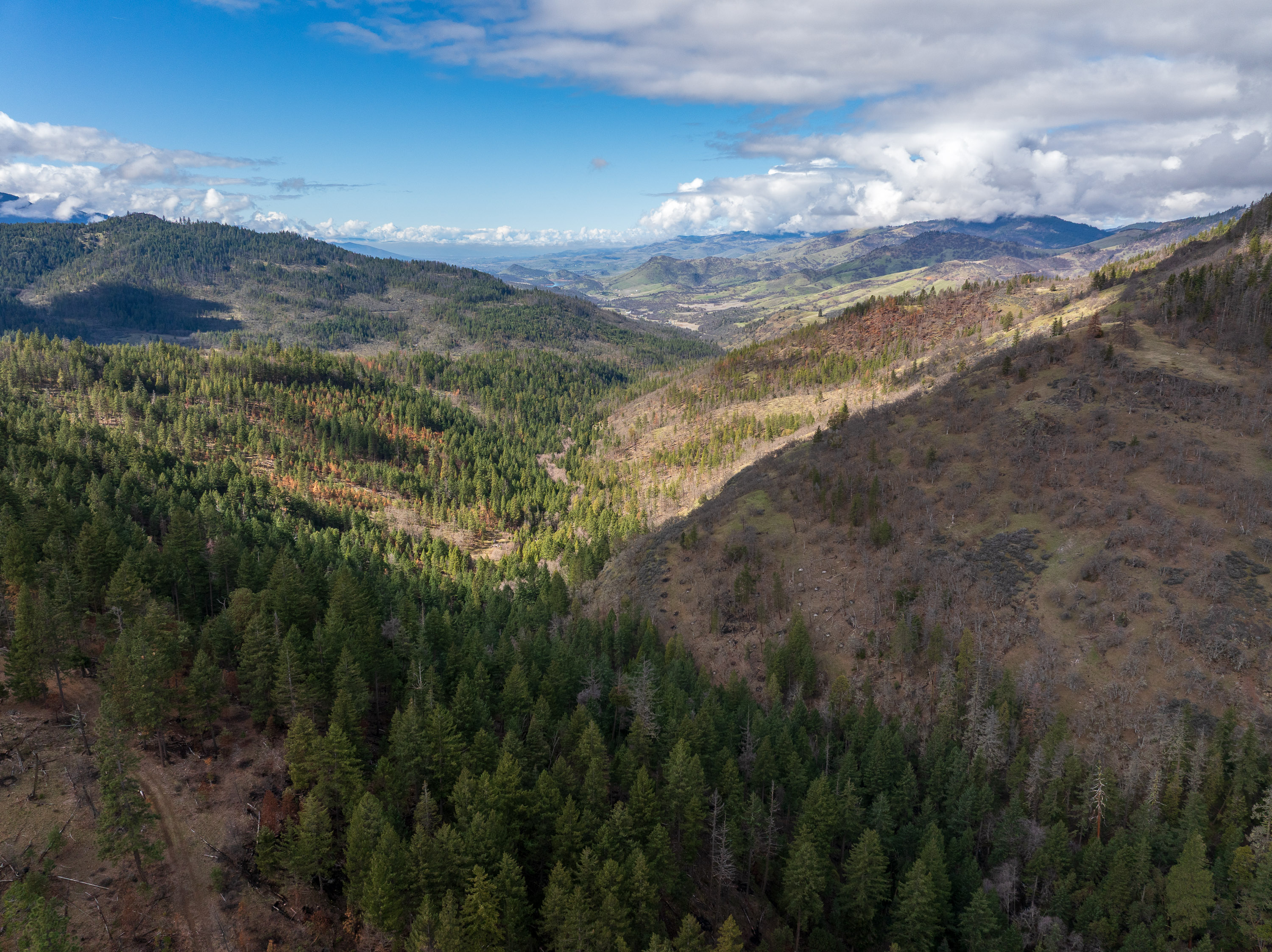
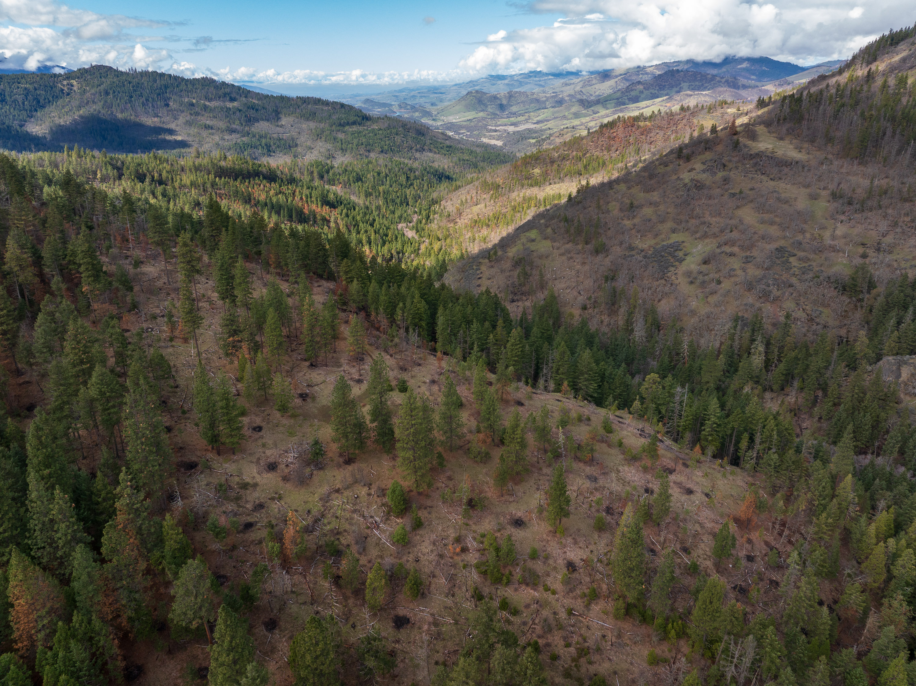
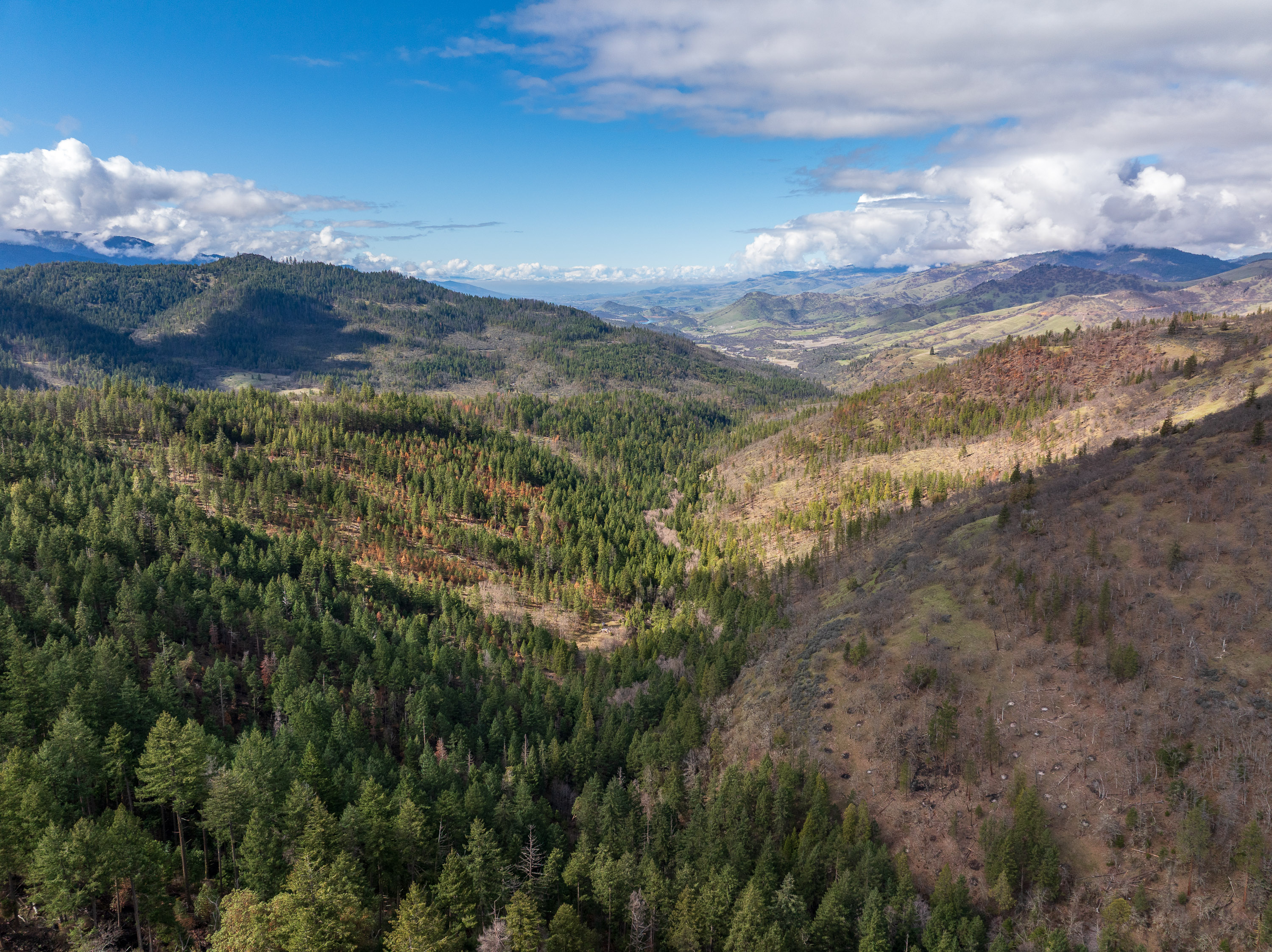
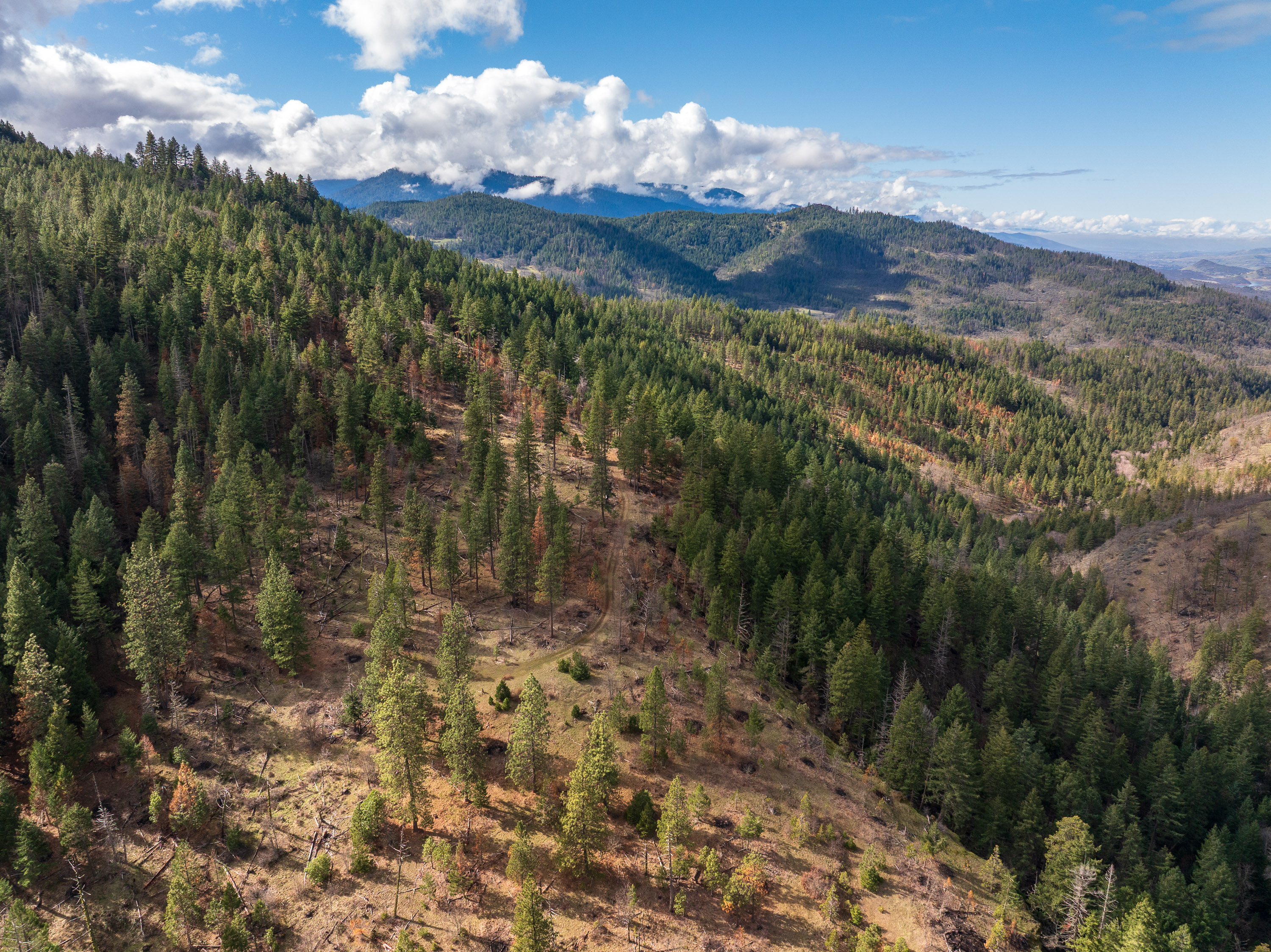
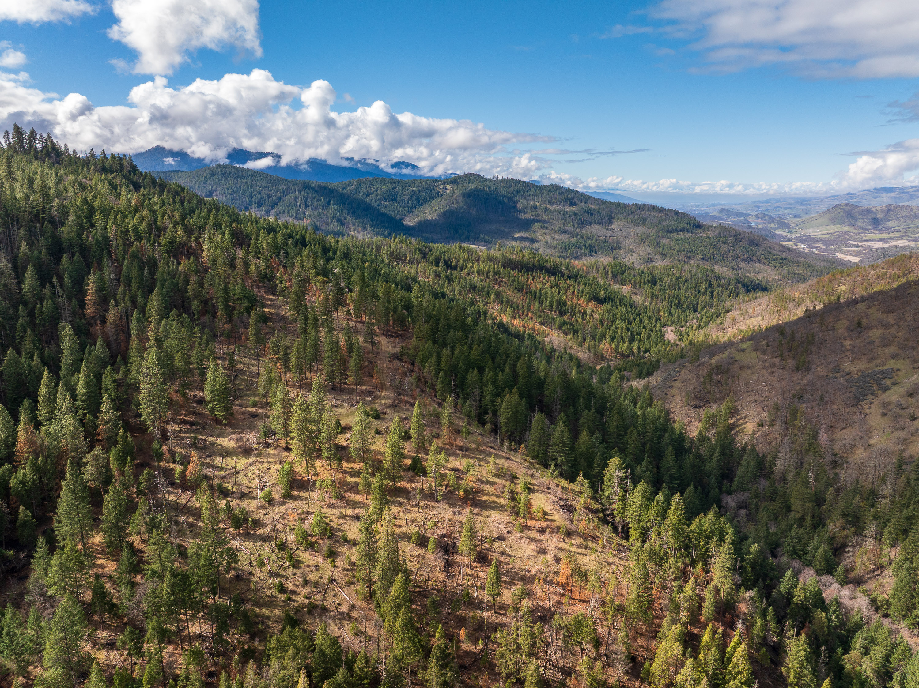
Spanning nearly 350 acres in the hills above Ashland, this property captures the kind of scale and natural character that has become increasingly rare in Southern Oregon. Sloping terrain, mixed forest, and varied elevations create a landscape that feels expansive and immersive — a place where you can walk for hours and continually discover new parts of the property.
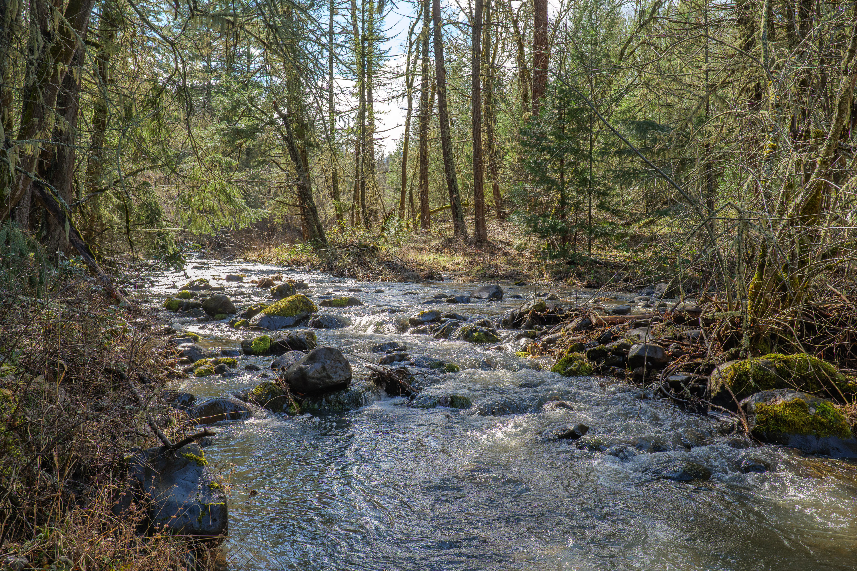
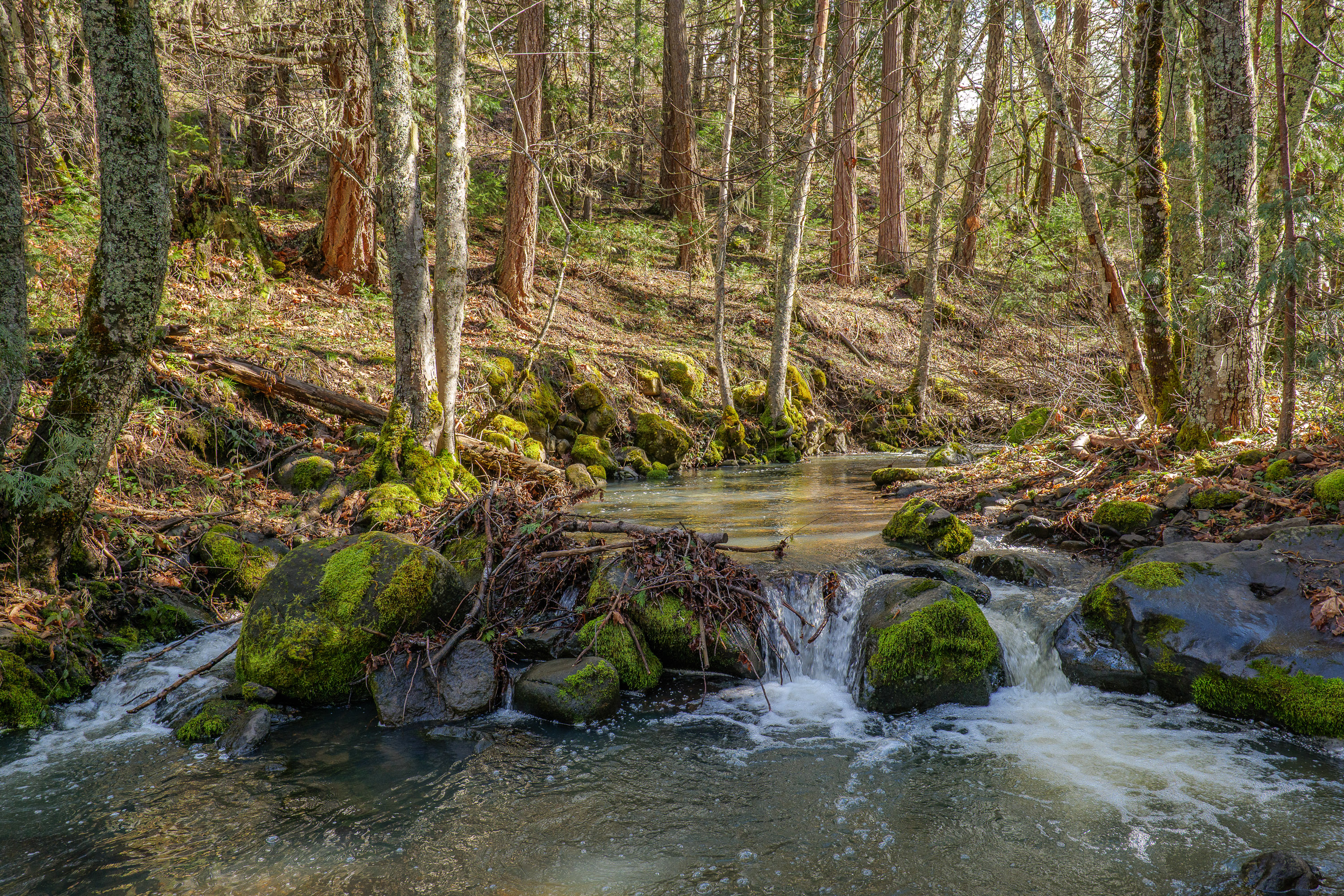
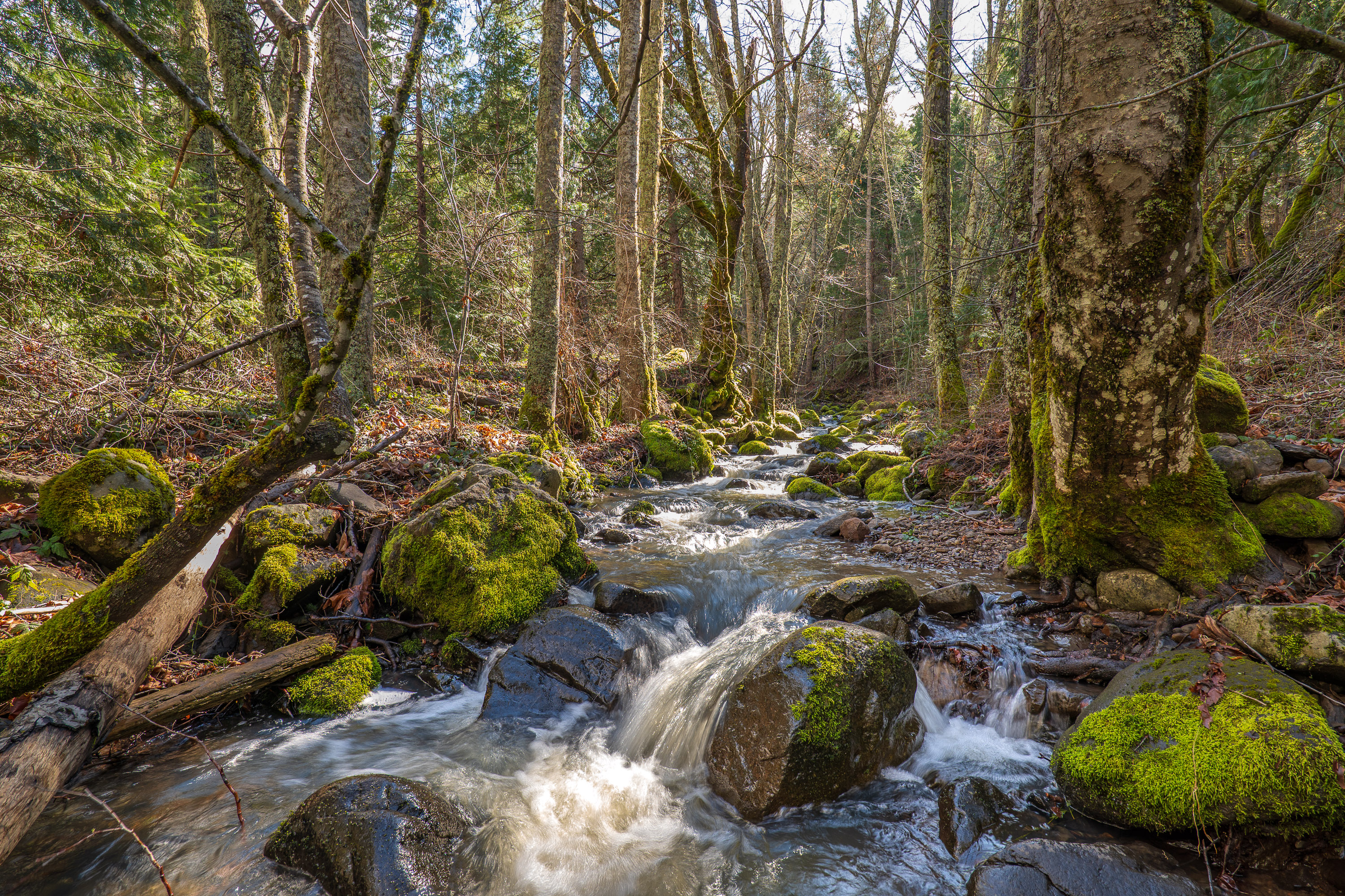
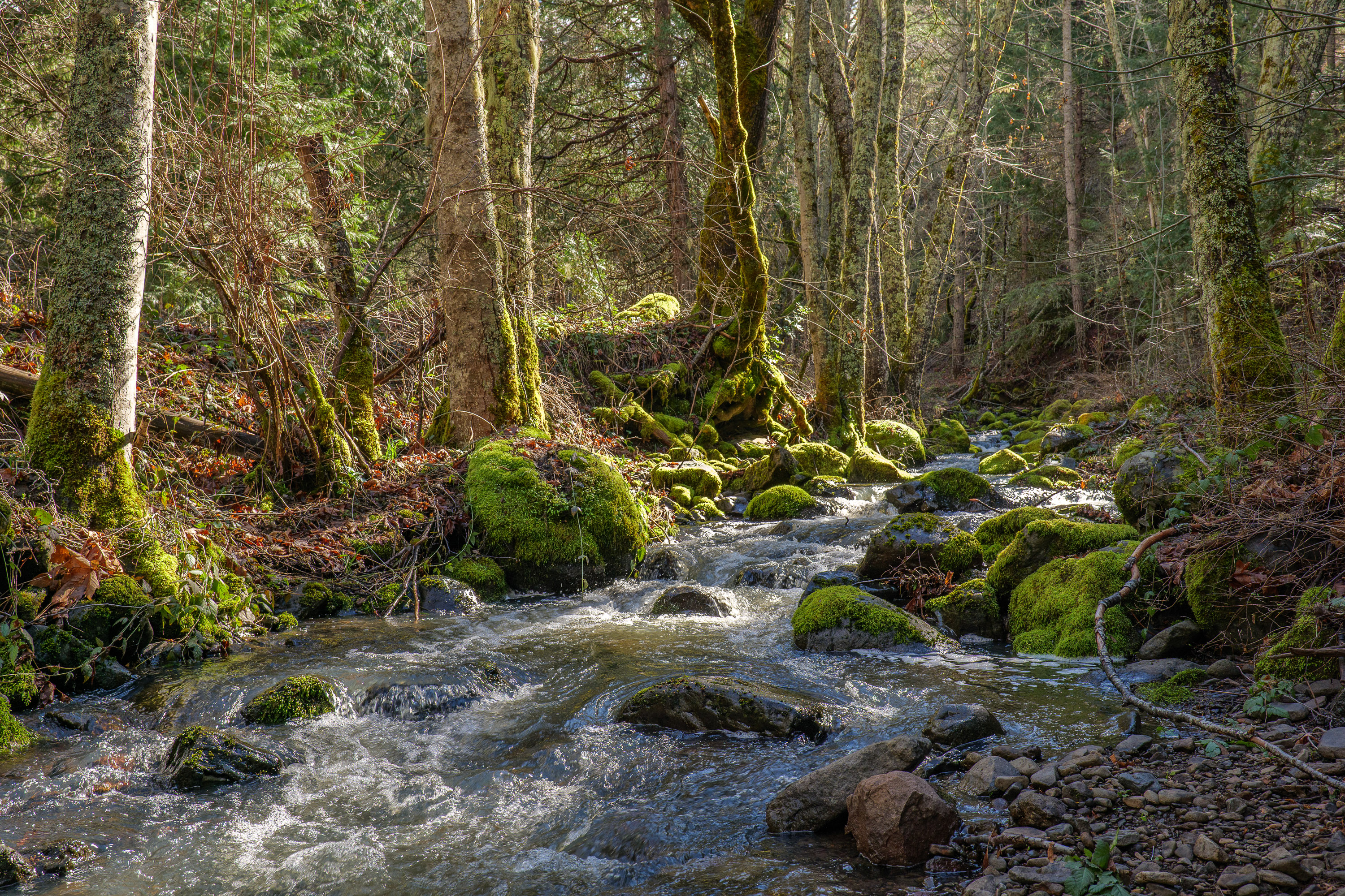
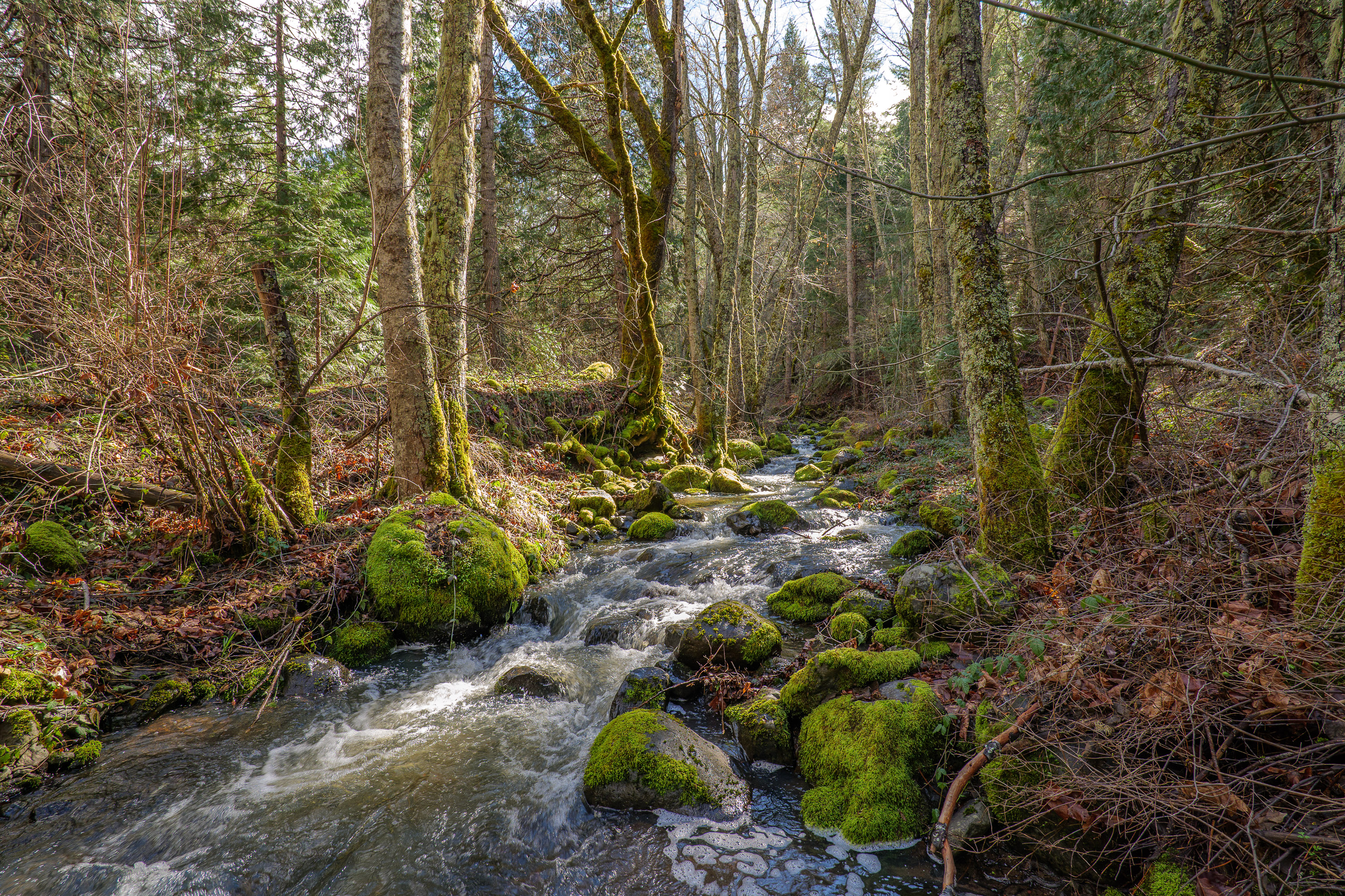
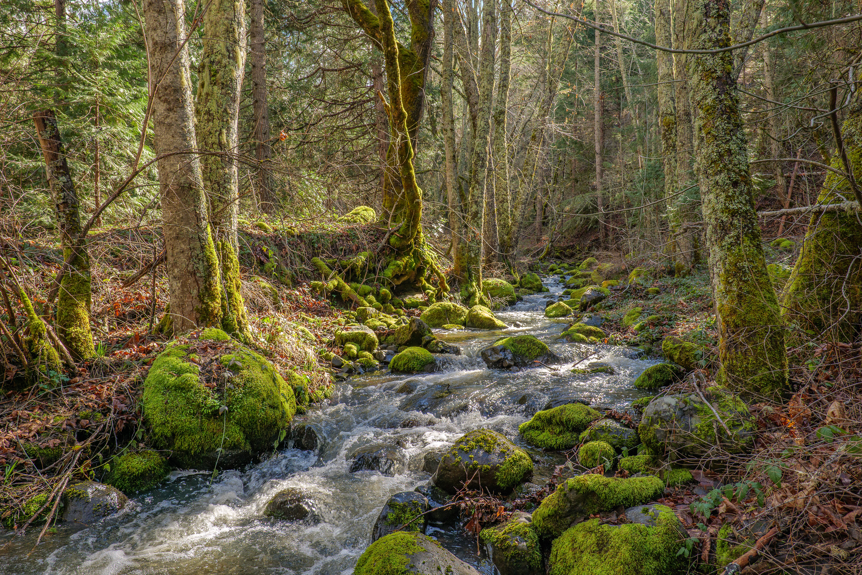
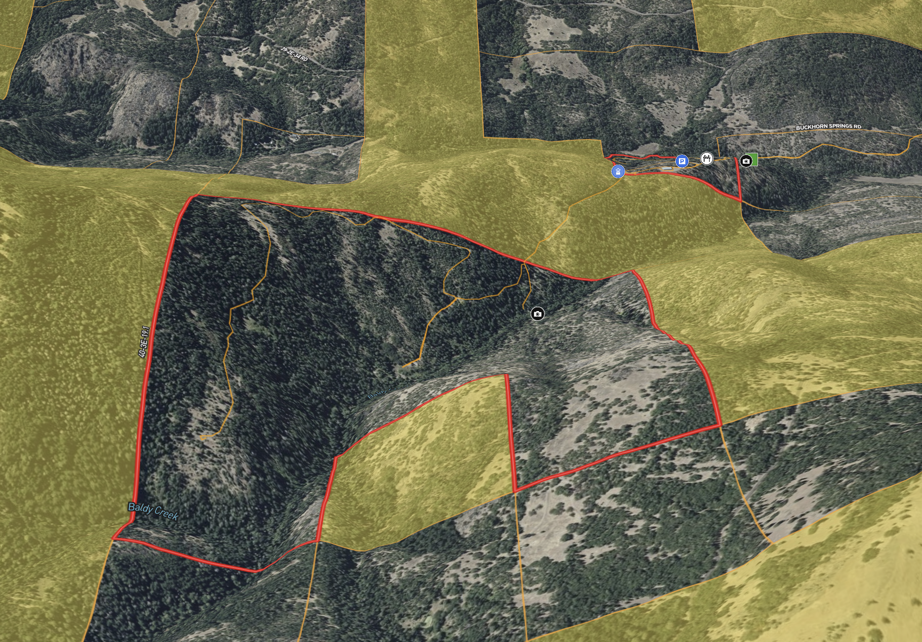
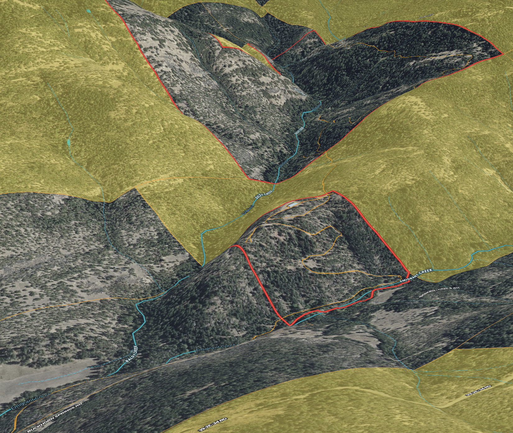
Nearly one mile of year-round Baldy Creek flows through the heart of the property, joined by additional frontage along Emigrant Creek. Live water defines the land — drawing wildlife, cooling the air, and adding a steady soundtrack to the forested setting. Whether your vision includes conservation, recreation, or long-term stewardship, dependable creek frontage brings both beauty and substance to the offering.
Timber stands across much of the acreage, offering both privacy and future potential. A timber cruise is recommended to quantify volume, but merchantable timber has been observed, adding another dimension to the property’s value. Located within the Rogue Hunting Unit, the land also supports strong wildlife habitat, making it well suited for hunting, hiking, horseback riding, and year-round outdoor exploration. Access throughout the property is supported by a private internal road system, allowing you to navigate the terrain with confidence.
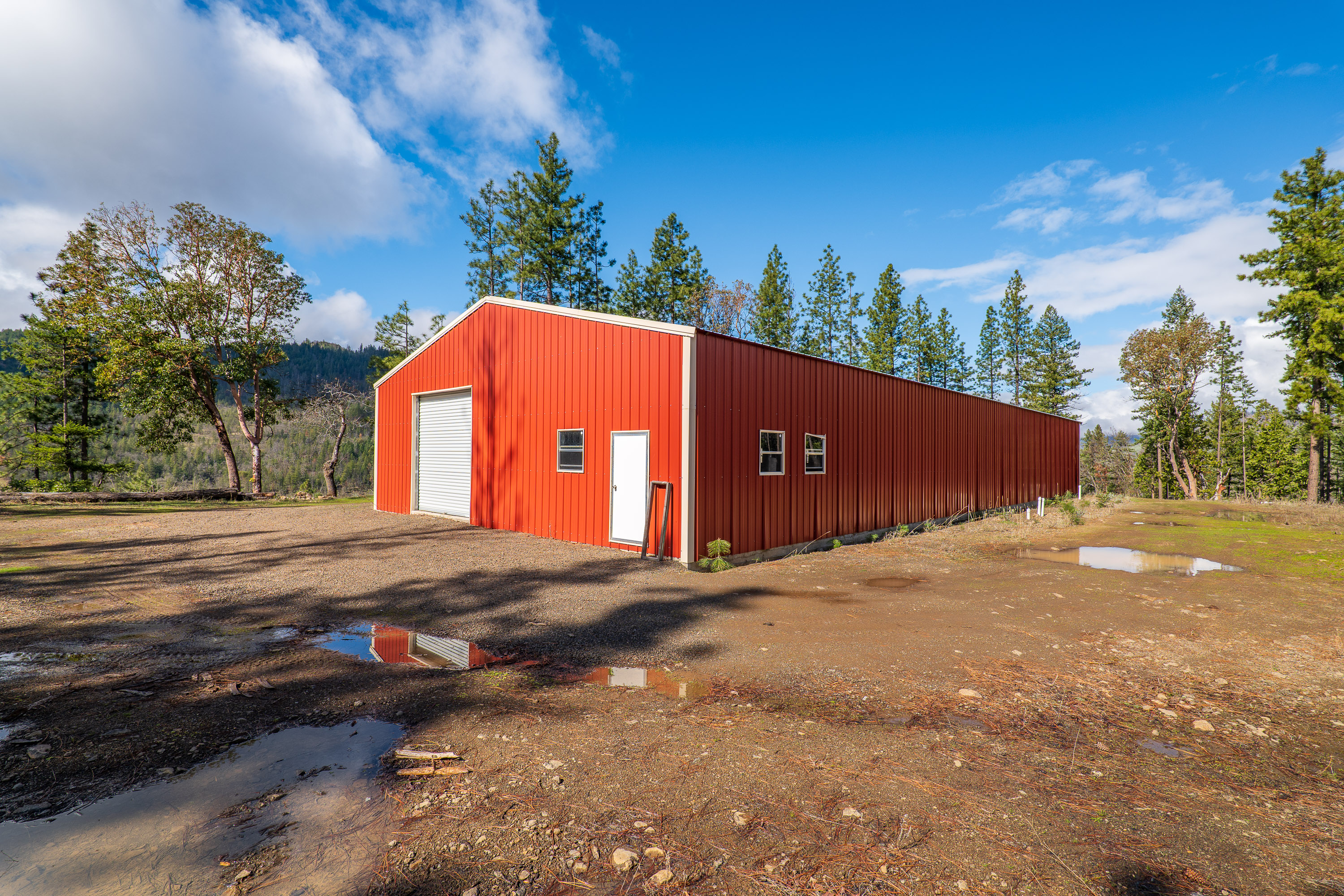
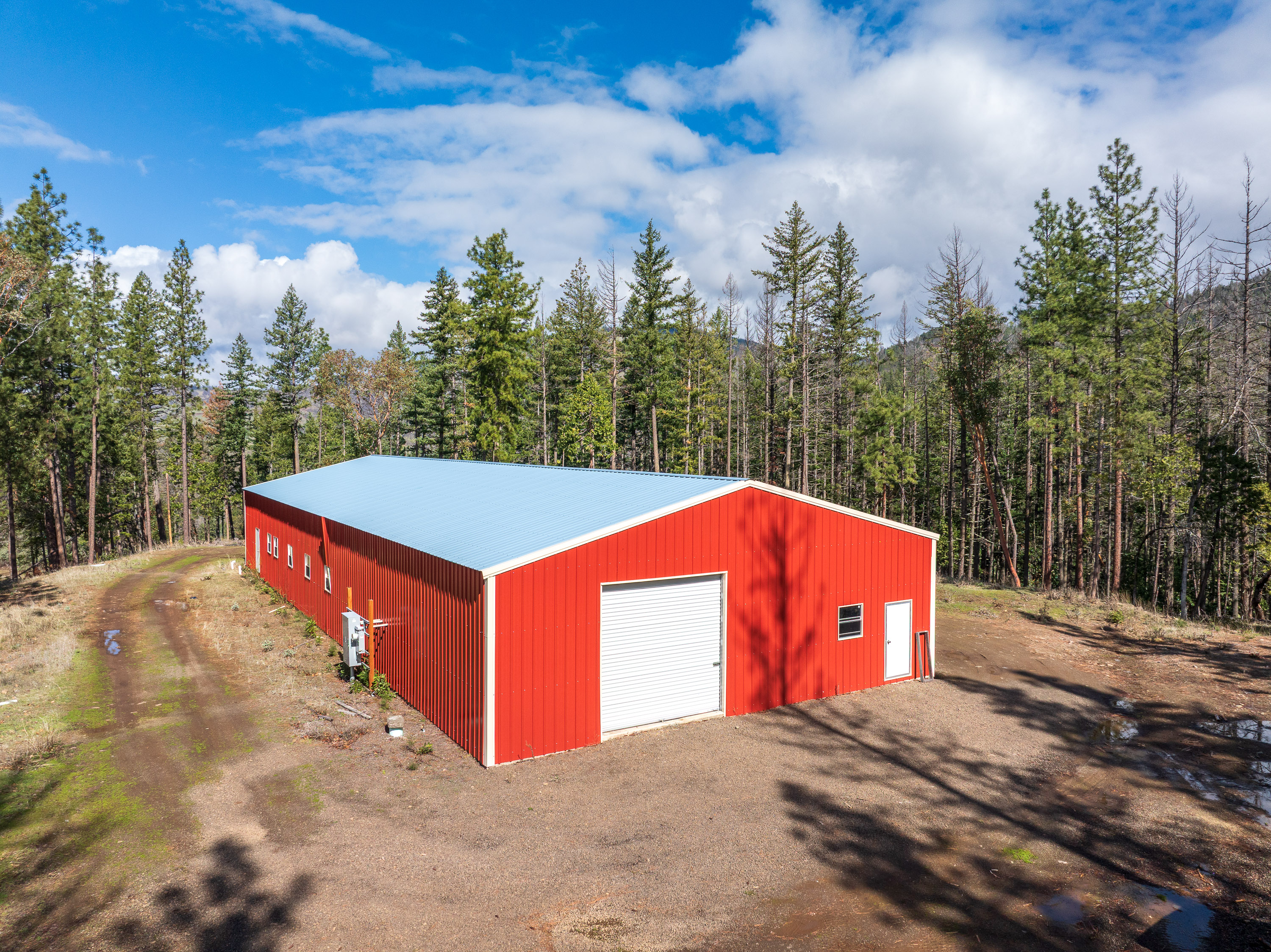
Infrastructure is already in place. A 4,000 square foot metal building, constructed in 2021, is served by substantial 600-amp electrical service — a level of power rarely found on rural forest properties. A 25 GPM domestic well provides water, and fuels reduction work has been completed, improving both resiliency and overall land management.
Fully Entitled Youth Camp | Approved & Ready for Vision
This property carries conditional use approval from Jackson County for operation as a Youth Camp under a Type 2 land use authorization — a meaningful milestone in a region where entitlements of this scale can take years to secure, with no guarantee of success.
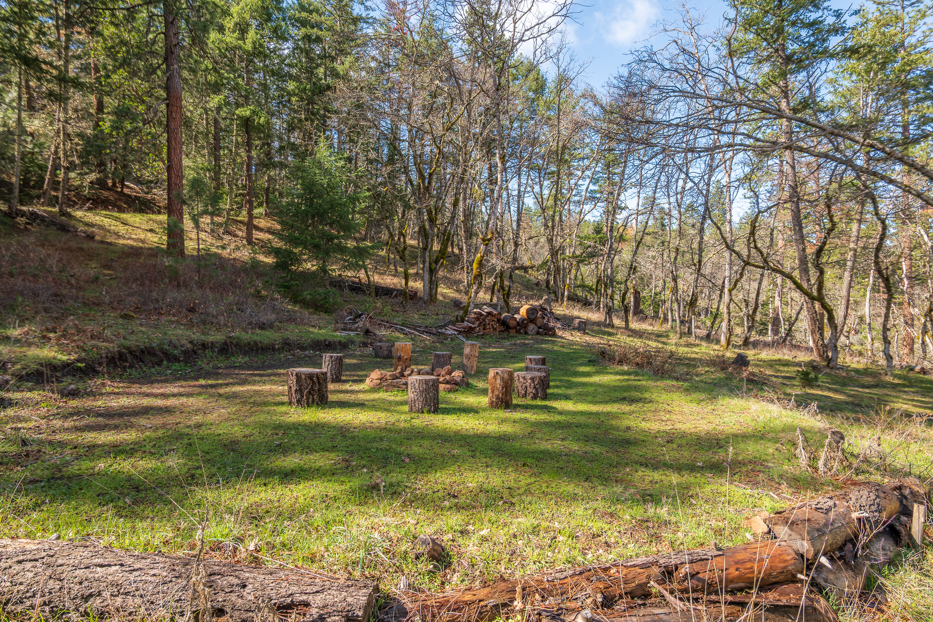
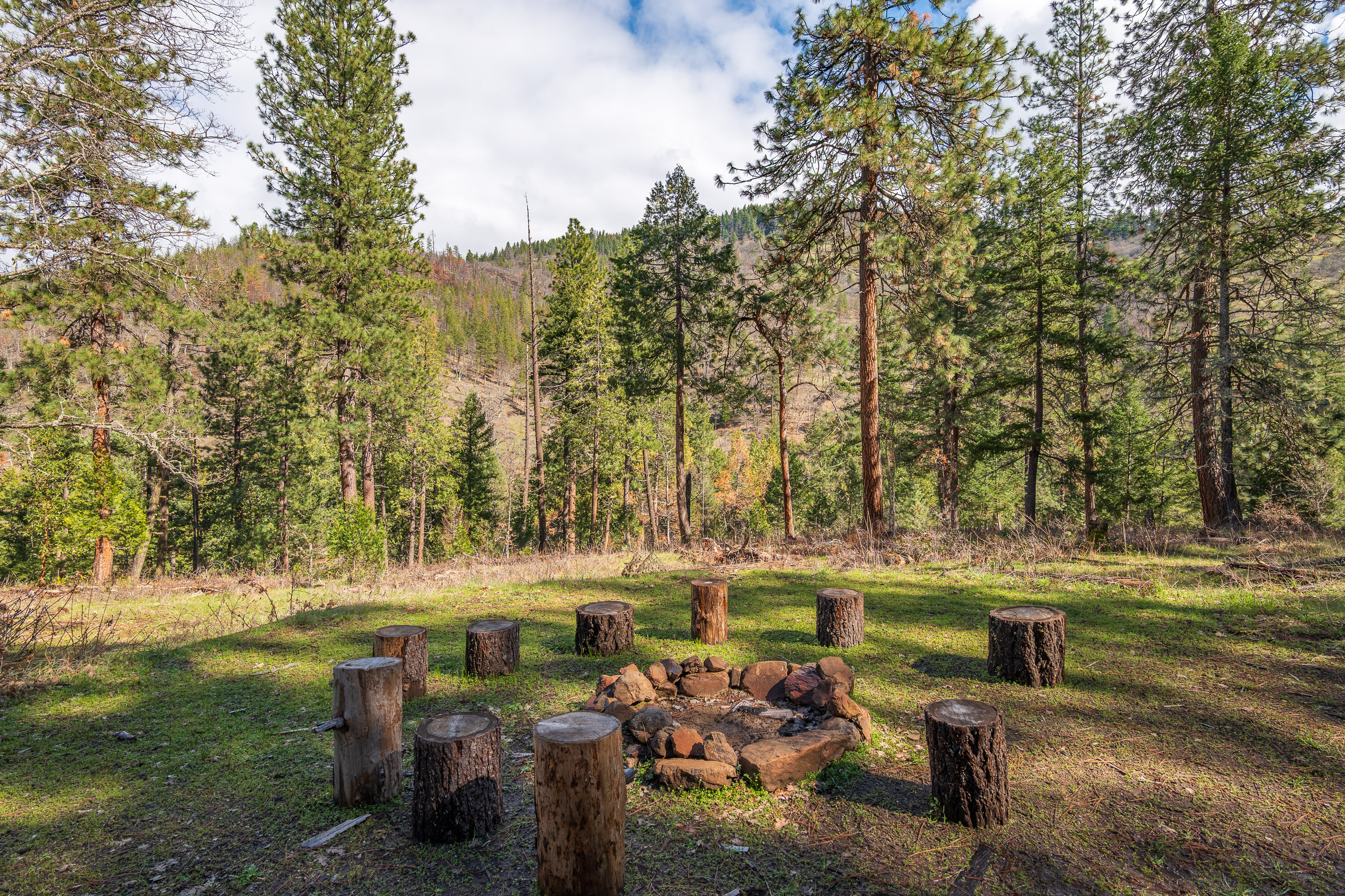
The approval allows organized youth programming with an overnight capacity of up to 100 youth participants and 25 staff or volunteers. The use is structured and program-based, designed to support education, leadership development, outdoor skills training, faith-based retreats, and other organized youth experiences centered around the natural landscape.
The approved site plan thoughtfully distributes improvements across the two tax lots.
On Tax Lot 3600, plans allow for an approximately 8,000 square foot lodge or common-use building designed to serve as the central gathering space for dining, meetings, and indoor programming. Sixteen cabins, each approximately 500 to 600 square feet, provide housing for campers, while a designated caretaker residence supports on-site management and long-term oversight. Forty-nine parking spaces are approved to accommodate staff, volunteers, and visitors.
Tax Lot 6200 expands the experience into a more immersive outdoor setting, with approval for 30 yurt or bell tent sites arranged across designated areas of the property. Open activity areas provide space for recreation, instruction, and group gatherings, supported by 19 additional parking spaces.
The approval framework maintains a clear mission focus. Adult participation is permitted only as an accessory use and is limited to no more than 10 percent of total annual camper nights. Short-term rentals, public lodging, event venue use, and commercial campground operations are not permitted, preserving the intended character of the project and reinforcing its purpose-driven design.
In today’s regulatory environment, the entitlement process often represents the greatest hurdle to development. Here, much of that uncertainty has already been addressed. The time, expense, and risk associated with navigating land use approvals have largely been absorbed — allowing the next owner to focus on execution rather than permission.
Private Land Within a National Monument Setting
Few properties can say they share a boundary with a landscape protected at the federal level. The Cascade–Siskiyou National Monument was designated to preserve one of the most biologically diverse regions in the Pacific Northwest — a place where the Cascade Range, Siskiyou Mountains, and Klamath Mountains converge. This meeting of mountain systems creates a rare ecological blend, where plant and wildlife species from multiple regions overlap and thrive within a relatively compact area.
Oak savannas transition into mixed conifer forests. Riparian corridors give way to open grasslands and higher elevation meadows. The variety is not subtle — it is layered and dynamic, shaped by geology, elevation, and water. The Monument is nationally recognized for its biodiversity, scenic integrity, and long-term conservation focus.
For this property, adjacency is more than a line on a map. It means the boundary to the south and east is not another subdivision or future development — it is protected land. It provides immediate access to thousands of acres for hiking, exploration, wildlife observation, and immersive outdoor programming. It creates a natural buffer that preserves privacy and protects the surrounding viewshed.
This is not simply land near public access. It is private acreage directly bordering a federally protected monument — a setting that offers both recreational depth and long-term confidence in the permanence of the landscape around it.
Conclusion
Whether envisioned as a legacy landholding, a mission-driven youth camp, or a private recreational retreat with meaningful commercial upside, 2829 Buckhorn Springs Road offers a combination that is increasingly difficult to assemble — scale, live water, infrastructure, entitlement, and direct monument adjacency. The land stands on its own. The approvals are in place. The surrounding landscape is protected. What remains is the opportunity to carry it forward — to steward it, develop it, and shape its next chapter in one of Southern Oregon’s most compelling natural settings.